Blacksmiths Bay Area, Blacksmiths Bay Postcode(0245) & Map in Blacksmiths Bay
Blacksmiths Bay Area, Blacksmiths Bay Postcode(0245) & Map in Blacksmiths Bay, Far North District, New Zealand
Blacksmiths Bay, Far North District, New Zealand
Blacksmiths Bay Postcodes
Blacksmiths Bay Area (estimated)
0.0 square kilometersBlacksmiths Bay Population (estimated)
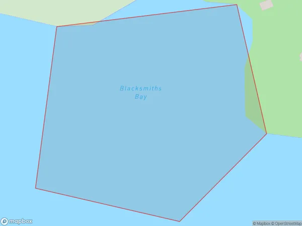
0 people live in Blacksmiths Bay, Bay of Islands-Whangaroa Community, NZBlacksmiths Bay Suburb Area Map (Polygon)
Blacksmiths Bay Introduction
Blacksmiths Bay is a bay located in the Northland region of New Zealand. It is situated on the coast of the Bay of Islands and is known for its stunning natural beauty, including rugged cliffs, pristine beaches, and crystal-clear waters. The bay is a popular destination for tourists and outdoor enthusiasts, with opportunities for hiking, kayaking, and fishing. It is also home to a small community of people who live in the surrounding areas.Region
Major City
Suburb Name
Blacksmiths BayOther Name(s)
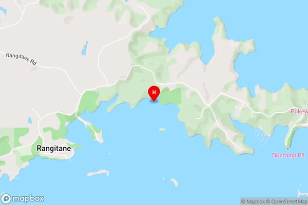
Kerikeri Inlet, Bay Of IslandsBlacksmiths Bay Area Map (Street)
Local Authority
Far North DistrictFull Address
Blacksmiths Bay, Far North District, New ZealandAddress Type
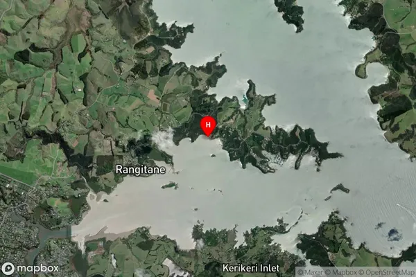
Coastal BayBlacksmiths Bay Suburb Map (Satellite)
Country
Main Region in AU
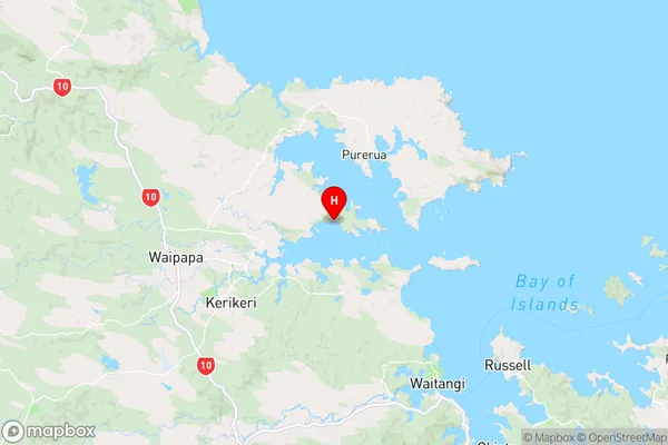
NorthlandBlacksmiths Bay Region Map
Coordinates
-35.1893136,174.016493 (latitude/longitude)Distances
The distance from Blacksmiths Bay, , Far North District to NZ Top 10 Cities