Katea Area, Katea Postcode & Map in Katea
Katea Area, Katea Postcode & Map in Katea, Clutha District, New Zealand
Katea, Clutha District, New Zealand
Katea Area (estimated)
38.3 square kilometersKatea Population (estimated)
39 people live in Katea, Otago, NZKatea Suburb Area Map (Polygon)
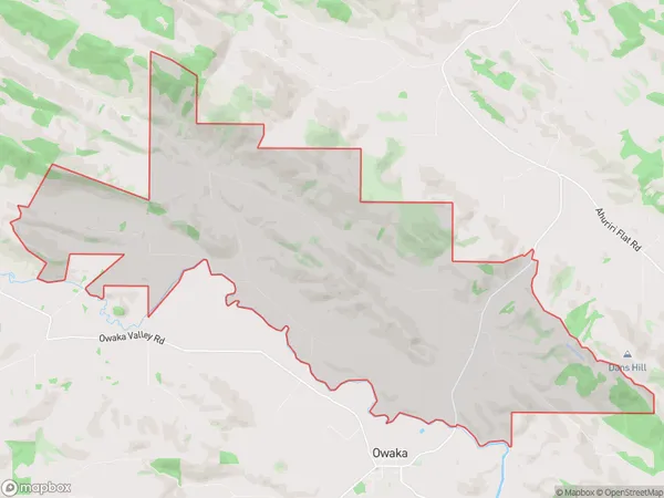
Katea Introduction
Katea is a small rural community in Otago, New Zealand. It is located in the Clutha District, 12 kilometers south of Owaka, and 110 kilometers south of Dunedin. The area was first settled by Māori in the 13th century, and the first European settlers arrived in the 1860s. Katea is known for its scenic beauty, with rolling hills, forests, and a river running through the area. The community has a primary school, a post office, and a small supermarket.Region
Major City
Suburb Name
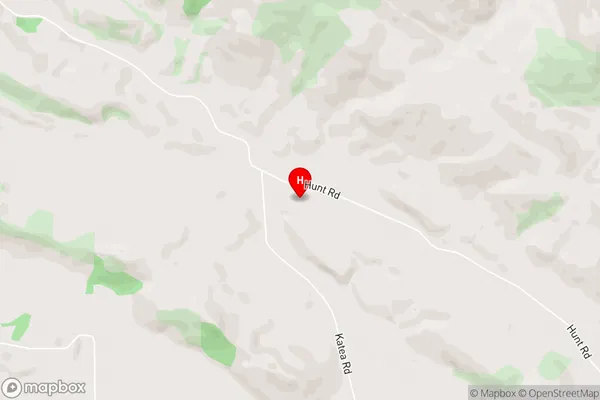
KateaKatea Area Map (Street)
Local Authority
Clutha DistrictFull Address
Katea, Clutha District, New ZealandAddress Type
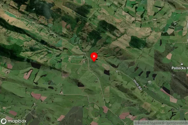
Locality in Town OwakaKatea Suburb Map (Satellite)
Country
Main Region in AU
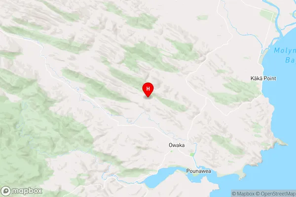
OtagoKatea Region Map
Coordinates
-46.4036086,169.6227171 (latitude/longitude)Distances
The distance from Katea, Owaka, Clutha District to NZ Top 10 Cities