Bain Bay Area, Bain Bay Postcode(7845) & Map in Bain Bay
Bain Bay Area, Bain Bay Postcode(7845) & Map in Bain Bay, Grey District, New Zealand
Bain Bay, Grey District, New Zealand
Bain Bay Postcodes
Bain Bay Area (estimated)
1.6 square kilometersBain Bay Population (estimated)
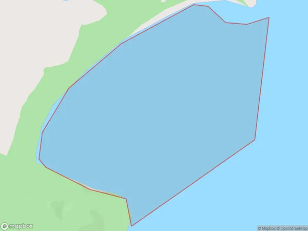
0 people live in Bain Bay, West Coast, NZBain Bay Suburb Area Map (Polygon)
Bain Bay Introduction
Bain Bay is a small settlement on the West Coast of New Zealand's South Island. It is located near the mouth of the Grey River and is known for its scenic views and peaceful atmosphere. The area is popular with tourists and outdoor enthusiasts who enjoy hiking, fishing, and kayaking. Bain Bay also has a small community with a school, a post office, and a few shops.Region
Suburb Name
Bain BayOther Name(s)
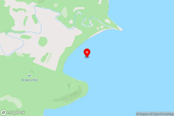
Lake Brunner (Moana)Bain Bay Area Map (Street)
Local Authority
Grey DistrictFull Address
Bain Bay, Grey District, New ZealandAddress Type
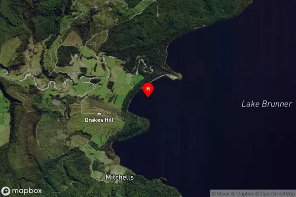
Inland BayBain Bay Suburb Map (Satellite)
Country
Main Region in AU
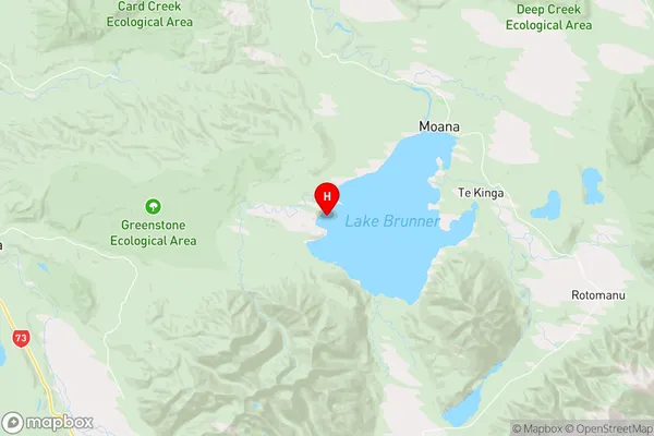
West CoastBain Bay Region Map
Coordinates
-42.6174281,171.4070298 (latitude/longitude)Distances
The distance from Bain Bay, , Grey District to NZ Top 10 Cities