Assassination Cove Area, Assassination Cove Postcode & Map in Assassination Cove
Assassination Cove Area, Assassination Cove Postcode & Map in Assassination Cove, Far North District, New Zealand
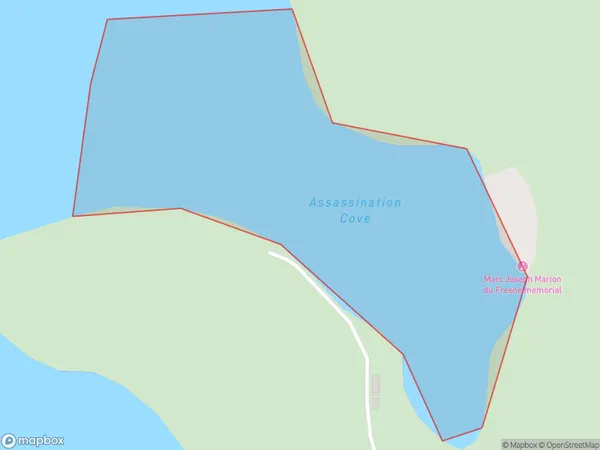
Assassination Cove, Far North District, New Zealand
Assassination Cove Area (estimated)
0.1 square kilometersAssassination Cove Population (estimated)
0 people live in Assassination Cove, Bay of Islands-Whangaroa Community, NZAssassination Cove Suburb Area Map (Polygon)
Assassination Cove Introduction
Assassination Cove is a small bay and beach located in the Northland region of New Zealand. It is known for its stunning natural beauty, including rugged cliffs, crystal-clear waters, and a peaceful atmosphere. The cove is also a popular spot for swimming, snorkeling, and kayaking, and is home to a variety of marine life. It is named after the assassination of New Zealand politician William Rolleston in 1891, who was killed by a group of Māori rebels at the nearby Oihi Bay.Region
Major City
Suburb Name
Assassination CoveOther Name(s)
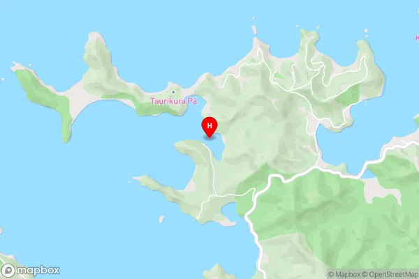
Te Rawhiti Inlet, Bay Of IslandsAssassination Cove Area Map (Street)
Local Authority
Far North DistrictFull Address
Assassination Cove, Far North District, New ZealandAddress Type
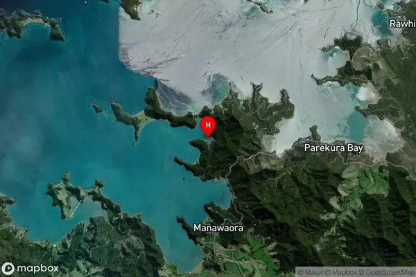
Coastal BayAssassination Cove Suburb Map (Satellite)
Country
Main Region in AU
NorthlandAssassination Cove Region Map

Coordinates
-35.2563206,174.2122111 (latitude/longitude)Distances
The distance from Assassination Cove, , Far North District to NZ Top 10 Cities