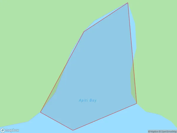
Apiti Bay Area, Apiti Bay Postcode(4108) & Map in Apiti Bay
Apiti Bay Area, Apiti Bay Postcode(4108) & Map in Apiti Bay, Wairoa District, New Zealand
Apiti Bay, Wairoa District, New Zealand
Apiti Bay Postcodes
Apiti Bay Area (estimated)
0.0 square kilometersApiti Bay Population (estimated)
0 people live in Apiti Bay, Hawke's Bay, NZApiti Bay Suburb Area Map (Polygon)
Apiti Bay Introduction
Apiti Bay is a small settlement in Hawke's Bay, New Zealand. It is located on the western coast of the bay, approximately 30 kilometers south of Hastings. The bay is known for its peaceful atmosphere, stunning natural beauty, and popular fishing and boating activities. The area has a rich history, with evidence of early Māori settlement dating back to around 1200 AD.Region
Suburb Name
Apiti BayOther Name(s)
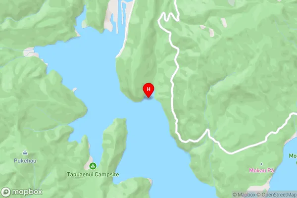
Whanganui Inlet, Lake WaikaremoanaApiti Bay Area Map (Street)
Local Authority
Wairoa DistrictFull Address
Apiti Bay, Wairoa District, New ZealandAddress Type
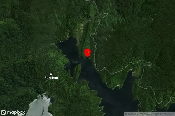
Inland BayApiti Bay Suburb Map (Satellite)
Country
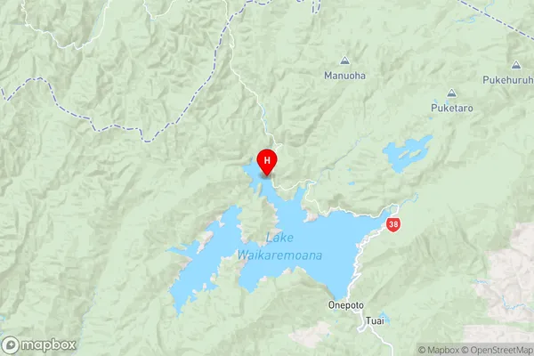
Main Region in AU
Hawke's BayApiti Bay Region Map
Coordinates
-38.7268121,177.0616064 (latitude/longitude)Distances
The distance from Apiti Bay, , Wairoa District to NZ Top 10 Cities