Andersons Cove Area, Andersons Cove Postcode & Map in Andersons Cove
Andersons Cove Area, Andersons Cove Postcode & Map in Andersons Cove, Area outside Territorial Authority, New Zealand
Andersons Cove, Area outside Territorial Authority, New Zealand
Andersons Cove Area (estimated)
1.0 square kilometersAndersons Cove Population (estimated)
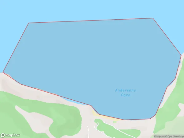
0 people live in Andersons Cove, Northland, NZAndersons Cove Suburb Area Map (Polygon)
Andersons Cove Introduction
Andersons Cove is a small bay and beach located in the Far North District of Northland, New Zealand. It is known for its stunning natural beauty, including crystal-clear waters, rugged cliffs, and lush vegetation. The cove is a popular spot for swimming, snorkeling, and kayaking, and it is also home to a small community of people who live in the surrounding area.Region
Suburb Name
Andersons CoveOther Name(s)
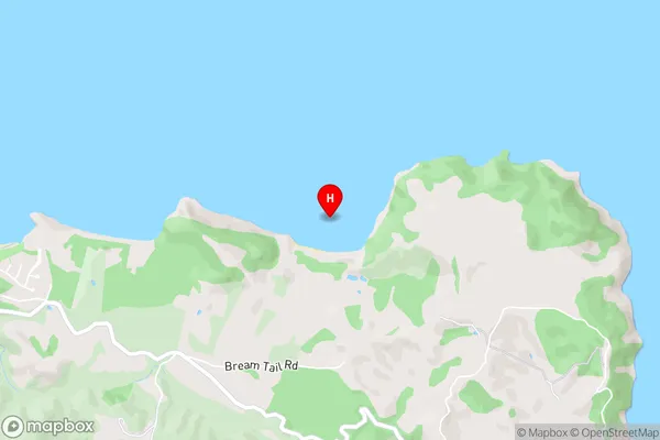
Bream BayAndersons Cove Area Map (Street)
Local Authority
Area outside Territorial AuthorityFull Address
Andersons Cove, Area outside Territorial Authority, New ZealandAddress Type
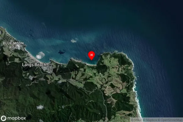
Coastal BayAndersons Cove Suburb Map (Satellite)
Country
Main Region in AU
NorthlandAndersons Cove Region Map

Coordinates
-36.04675,174.56725 (latitude/longitude)Distances
The distance from Andersons Cove, , Area outside Territorial Authority to NZ Top 10 Cities