Andersons Bay Inlet Area, Andersons Bay Inlet Postcode(9013) & Map in Andersons Bay Inlet
Andersons Bay Inlet Area, Andersons Bay Inlet Postcode(9013) & Map in Andersons Bay Inlet, Dunedin City, New Zealand
Andersons Bay Inlet, Dunedin City, New Zealand
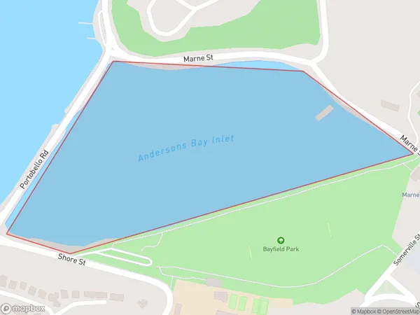
Andersons Bay Inlet Postcodes
Andersons Bay Inlet Area (estimated)
0.2 square kilometersAndersons Bay Inlet Population (estimated)
0 people live in Andersons Bay Inlet, Dunedin, NZAndersons Bay Inlet Suburb Area Map (Polygon)
Andersons Bay Inlet Introduction
Andersons Bay Inlet is a small, sheltered bay located in the southern region of New Zealand's South Island. It is situated in the Otago region, approximately 30 kilometers south of Dunedin city. The inlet is surrounded by picturesque hills and is known for its calm and peaceful atmosphere. It is a popular spot for fishing, boating, and kayaking, and is home to a small community of residents. The bay is also a significant conservation area, with several species of birds and marine animals found in the surrounding waters.Region
Major City
Suburb Name
Andersons Bay InletOther Name(s)
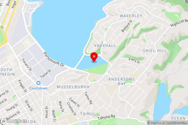
Otago HarbourAndersons Bay Inlet Area Map (Street)
Local Authority
Dunedin CityFull Address
Andersons Bay Inlet, Dunedin City, New ZealandAddress Type
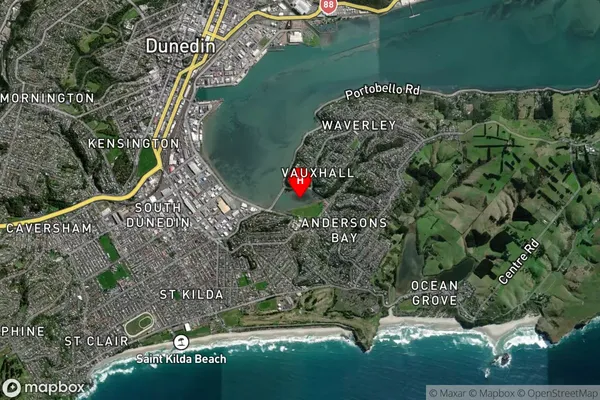
Coastal BayAndersons Bay Inlet Suburb Map (Satellite)
Country
Main Region in AU
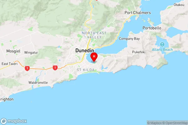
OtagoAndersons Bay Inlet Region Map
Coordinates
-45.89251445,170.524142116679 (latitude/longitude)Distances
The distance from Andersons Bay Inlet, , Dunedin City to NZ Top 10 Cities