Anchorage Arm Area, Anchorage Arm Postcode & Map in Anchorage Arm
Anchorage Arm Area, Anchorage Arm Postcode & Map in Anchorage Arm, Southland District,
Anchorage Arm, Southland District,
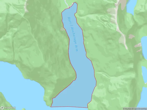
Anchorage Arm Area (estimated)
2.9 square kilometersAnchorage Arm Population (estimated)
0 people live in Anchorage Arm, Brighton, NZAnchorage Arm Suburb Area Map (Polygon)
Region
Major City
Suburb Name
Anchorage ArmOther Name(s)
Te Ra / Dagg Sound (Maori Name: Te Rā / Dagg Sound)Anchorage Arm Area Map (Street)
Local Authority
Southland DistrictFull Address
Anchorage Arm, Southland District,Address Type
Coastal BayAnchorage Arm Suburb Map (Satellite)
Country
Main Region in AU
OtagoAnchorage Arm Region Map
Coordinates
0,0 (latitude/longitude)Distances
The distance from Anchorage Arm, , Southland District to NZ Top 10 Cities