Anakakata Bay Area, Anakakata Bay Postcode & Map in Anakakata Bay
Anakakata Bay Area, Anakakata Bay Postcode & Map in Anakakata Bay, Marlborough District, New Zealand
Anakakata Bay, Marlborough District, New Zealand
Anakakata Bay Area (estimated)
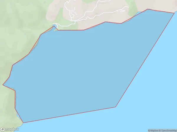
1.0 square kilometersAnakakata Bay Population (estimated)
0 people live in Anakakata Bay, Marlborough, NZAnakakata Bay Suburb Area Map (Polygon)
Anakakata Bay Introduction
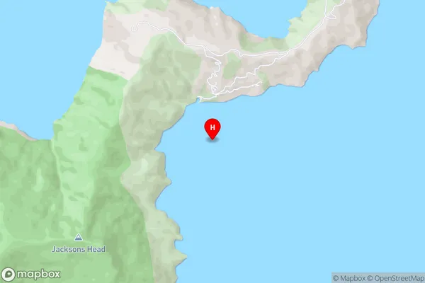
Anakakata Bay is a small, sheltered bay located in the Marlborough region of New Zealand's South Island. It is known for its calm waters, beautiful beaches, and stunning coastal scenery. The bay is a popular spot for swimming, kayaking, and fishing, and is home to a variety of wildlife, including seals, dolphins, and penguins. It is also a popular destination for tourists, with several accommodation options and recreational facilities nearby.Region
Suburb Name
Anakakata BayOther Name(s)
Queen Charlotte Sound (Totaranui)Anakakata Bay Area Map (Street)
Local Authority
Marlborough DistrictFull Address
Anakakata Bay, Marlborough District, New ZealandAddress Type
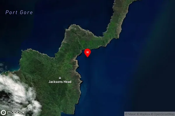
Coastal BayAnakakata Bay Suburb Map (Satellite)
Country
Main Region in AU
MarlboroughAnakakata Bay Region Map

Coordinates
-41.0438335,174.2799291 (latitude/longitude)Distances
The distance from Anakakata Bay, , Marlborough District to NZ Top 10 Cities