Ahuriri Bay Area, Ahuriri Bay Postcode & Map in Ahuriri Bay
Ahuriri Bay Area, Ahuriri Bay Postcode & Map in Ahuriri Bay, Marlborough District,
Ahuriri Bay, Marlborough District,
Ahuriri Bay Area (estimated)
0.3 square kilometersAhuriri Bay Population (estimated)
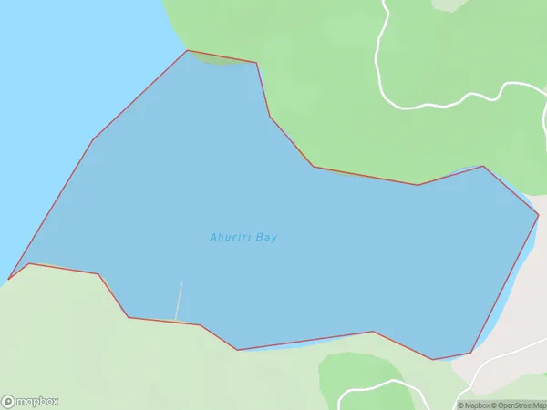
0 people live in Ahuriri Bay, Brighton, NZAhuriri Bay Suburb Area Map (Polygon)
Ahuriri Bay Introduction
Ahuriri Bay is a popular tourist destination in Otago, New Zealand. It is located on the Otago Peninsula and is known for its stunning blue waters, sandy beaches, and picturesque coastal scenery. The bay is also a popular spot for fishing, kayaking, and other water-based activities. Visitors can explore the nearby Ahuriri Estuary, which is home to a variety of bird species and other wildlife. The bay has a rich history and was once home to a large Māori settlement. It is also the site of the Ahuriri Viaduct, which is a historic bridge that spans the bay.Region
Major City
Suburb Name
Ahuriri BayOther Name(s)
Whatamango Bay, Queen Charlotte Sound (Totaranui)Ahuriri Bay Area Map (Street)
Local Authority
Marlborough DistrictFull Address
Ahuriri Bay, Marlborough District,Address Type
Coastal BayAhuriri Bay Suburb Map (Satellite)
Country
Main Region in AU
OtagoAhuriri Bay Region Map
Coordinates
0,0 (latitude/longitude)Distances
The distance from Ahuriri Bay, , Marlborough District to NZ Top 10 Cities