Ahipara Bay Area, Ahipara Bay Postcode & Map in Ahipara Bay
Ahipara Bay Area, Ahipara Bay Postcode & Map in Ahipara Bay, Area outside Territorial Authority, New Zealand
Ahipara Bay, Area outside Territorial Authority, New Zealand
Ahipara Bay Area (estimated)
46.6 square kilometersAhipara Bay Population (estimated)
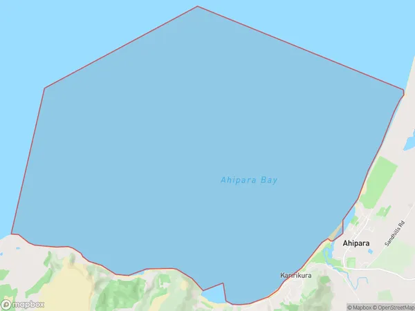
0 people live in Ahipara Bay, Northland, NZAhipara Bay Suburb Area Map (Polygon)
Ahipara Bay Introduction
Ahipara Bay is a remote, sandy bay on the Northland coast of New Zealand. It is known for its stunning natural beauty, including golden sand beaches, crystal-clear waters, and a diverse range of marine life. The bay is also a popular destination for surfers and fishermen, with several surf breaks and fishing spots nearby. It is part of the Ahipara Forest Park, a protected area that covers over 10,000 hectares of land and sea.Region
Suburb Name
Ahipara BayAhipara Bay Area Map (Street)

Local Authority
Area outside Territorial AuthorityFull Address
Ahipara Bay, Area outside Territorial Authority, New ZealandAddress Type
Coastal BayAhipara Bay Suburb Map (Satellite)

Country
Main Region in AU
NorthlandAhipara Bay Region Map

Coordinates
-35.1498809,173.132040377538 (latitude/longitude)Distances
The distance from Ahipara Bay, , Area outside Territorial Authority to NZ Top 10 Cities