Mount Pleasant Area, Mount Pleasant Postcode(8247) & Map in Mount Pleasant
Mount Pleasant Area, Mount Pleasant Postcode(8247) & Map in Mount Pleasant, Christchurch City, New Zealand
Mount Pleasant, Christchurch City, New Zealand
Mount Pleasant Postcodes
Mount Pleasant Area (estimated)
4.4 square kilometersMount Pleasant Population (estimated)
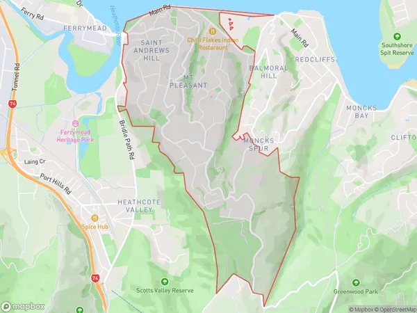
3989 people live in Mount Pleasant, Linwood-Central-Heathcote Community, NZMount Pleasant Suburb Area Map (Polygon)
Mount Pleasant Introduction
Mount Pleasant is a suburb of Christchurch, New Zealand, located in the Eastern suburbs of the city. It is known for its historic homes, leafy streets, and proximity to the Christchurch Botanic Gardens and the Port Hills. The suburb was established in the 1850s and has a rich history of colonial settlement.Region
Major City
Suburb Name
Mount PleasantOther Name(s)
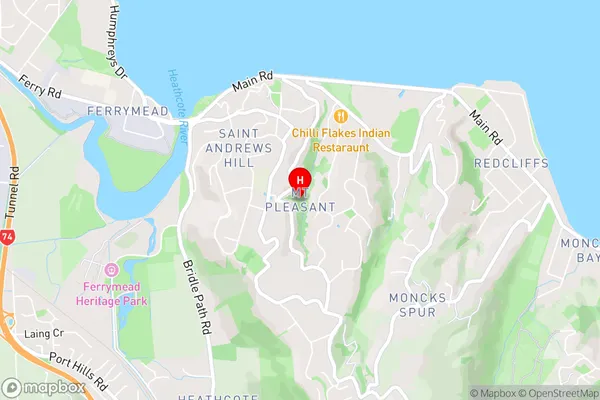
Mt Pleasant, Saint Andrews Hill, St Andrews HillMount Pleasant Area Map (Street)
Local Authority
Christchurch CityFull Address
Mount Pleasant, Christchurch City, New ZealandAddress Type
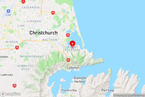
Suburb in City ChristchurchMount Pleasant Suburb Map (Satellite)
Not available for nowCountry
Main Region in AU
CanterburyMount Pleasant Region Map
Coordinates
-43.5632418,172.7188135 (latitude/longitude)Distances
The distance from Mount Pleasant, Christchurch, Christchurch City to NZ Top 10 Cities