Bromley Area, Bromley Postcode(8062) & Map in Bromley
Bromley Area, Bromley Postcode(8062) & Map in Bromley, Christchurch City, New Zealand
Bromley, Christchurch City, New Zealand
Bromley Area (estimated)
9.3 square kilometersBromley Population (estimated)
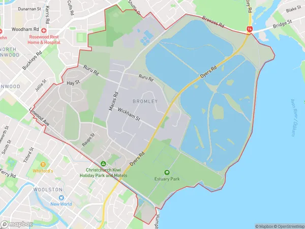
3169 people live in Bromley, Linwood-Central-Heathcote Community, NZBromley Suburb Area Map (Polygon)
Bromley Introduction
Bromley is a suburb of Christchurch, New Zealand, located in the eastern suburbs of the city. It is known for its large population of English and Scottish descendants and for its historic homes and gardens. The suburb has a variety of shops, restaurants, and recreational facilities, including a golf course and a swimming pool. Bromley also has a strong community spirit and is home to a number of community groups and organizations.Region
Major City
Suburb Name
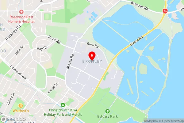
BromleyBromley Area Map (Street)
Local Authority
Christchurch CityFull Address
Bromley, Christchurch City, New ZealandAddress Type
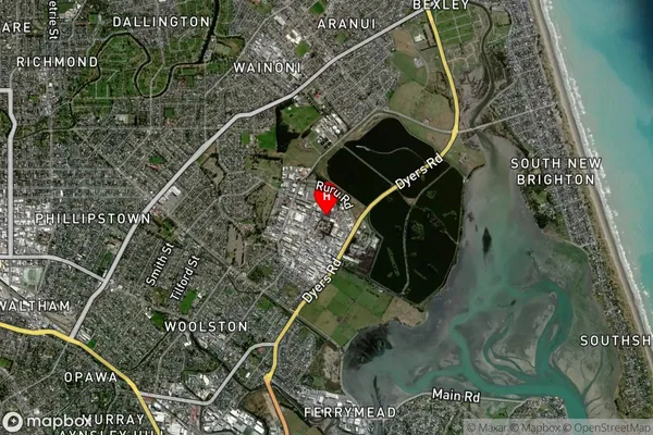
Suburb in City ChristchurchBromley Suburb Map (Satellite)
Country
Main Region in AU
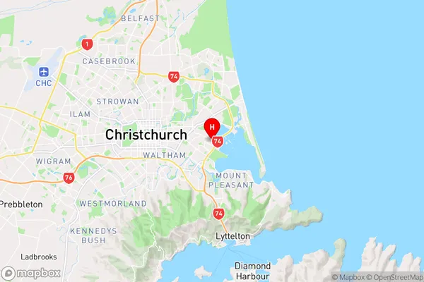
CanterburyBromley Region Map
Coordinates
-43.5354105,172.7004017 (latitude/longitude)Distances
The distance from Bromley, Christchurch, Christchurch City to NZ Top 10 Cities