Port Levy Area, Port Levy Postcode(8011) & Map in Port Levy
Port Levy Area, Port Levy Postcode(8011) & Map in Port Levy, Christchurch City, New Zealand
Port Levy, Christchurch City, New Zealand
Port Levy Postcodes
Port Levy Area (estimated)
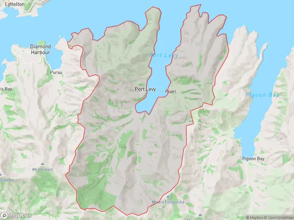
90.6 square kilometersPort Levy Population (estimated)
119 people live in Port Levy, Banks Peninsula Community, NZPort Levy Suburb Area Map (Polygon)
Port Levy Introduction
Port Levy is a small settlement in the Diamond Harbour area of Canterbury, New Zealand. It is located on the banks of the Hurunui River and is popular with boaties and tourists. The area has a rich history, with evidence of early Māori settlement and European colonization. The Port Levy Domain is a popular spot for outdoor activities such as hiking, fishing, and kayaking. The settlement also has a small community hall and a convenience store.Region
Major City
Suburb Name
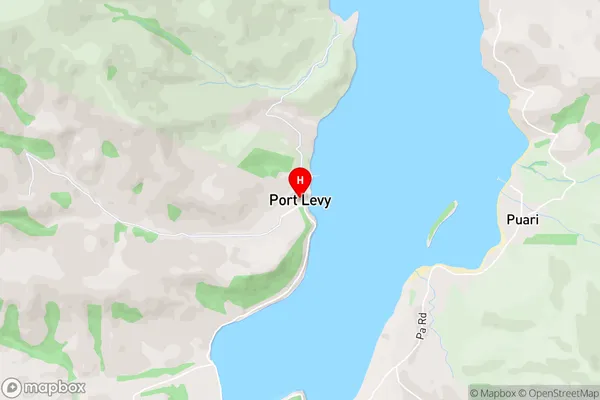
Port LevyOther Name(s)
PuariPort Levy Area Map (Street)
Local Authority
Christchurch CityFull Address
Port Levy, Christchurch City, New ZealandAddress Type
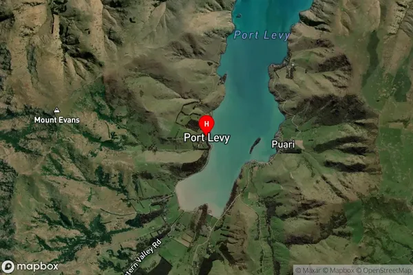
Locality in Town Diamond HarbourPort Levy Suburb Map (Satellite)
Country
Main Region in AU
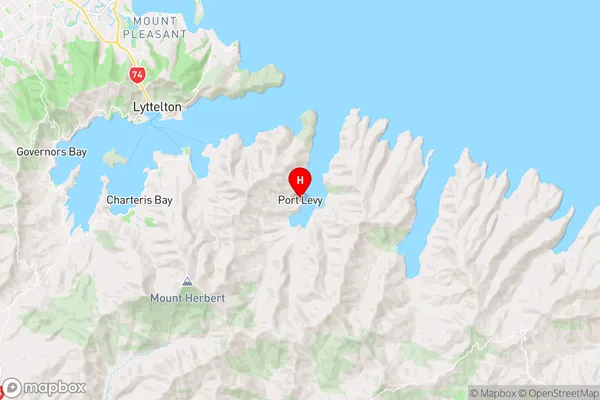
CanterburyPort Levy Region Map
Coordinates
-43.6488522,172.8186894 (latitude/longitude)Distances
The distance from Port Levy, Diamond Harbour, Christchurch City to NZ Top 10 Cities