Waipoua Forest Area, Waipoua Forest Postcode & Map in Waipoua Forest, Far North District
Waipoua Forest Area, Waipoua Forest Postcode & Map in Waipoua Forest, Far North District, Kaipara District, New Zealand
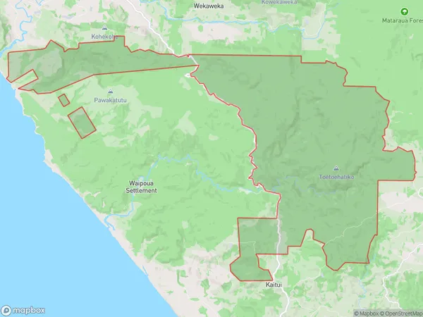
Waipoua Forest, Far North District, Kaipara District, New Zealand
Waipoua Forest Area (estimated)
105.0 square kilometersWaipoua Forest Population (estimated)
7 people live in Waipoua Forest, Northland, NZWaipoua Forest Suburb Area Map (Polygon)
Waipoua Forest Introduction
Waipoua Forest is a large forest located in Northland, New Zealand, known for its ancient kauri trees, which can be up to 2,500 years old. The forest is a popular destination for hikers and nature enthusiasts, with a network of walking tracks and scenic viewpoints. The forest is also home to a variety of wildlife, including kiwi, tui, and kea.Region
0Suburb Name
Waipoua ForestWaipoua Forest Area Map (Street)

Local Authority
Far North District, Kaipara DistrictFull Address
Waipoua Forest, Far North District, Kaipara District, New ZealandAddress Type
Conservation Land in Major Locality Northland Conservation ParkWaipoua Forest Suburb Map (Satellite)

Country
Main Region in AU
NorthlandWaipoua Forest Region Map

Coordinates
-35.63501505,173.577294184876 (latitude/longitude)Distances
The distance from Waipoua Forest, Northland Conservation Park, Far North District, Kaipara District to NZ Top 10 Cities