Mataraua Forest Area, Mataraua Forest Postcode & Map in Mataraua Forest, Far North District
Mataraua Forest Area, Mataraua Forest Postcode & Map in Mataraua Forest, Far North District, Kaipara District, New Zealand
Mataraua Forest, Far North District, Kaipara District, New Zealand
Mataraua Forest Area (estimated)
50.7 square kilometersMataraua Forest Population (estimated)
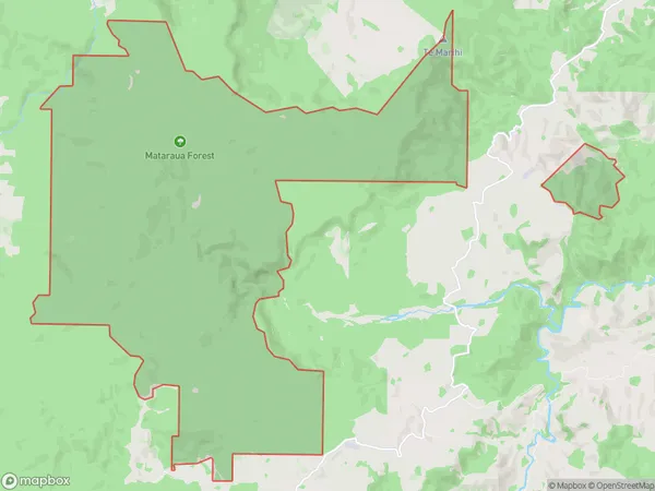
0 people live in Mataraua Forest, Kaikohe-Hokianga Community, NZMataraua Forest Suburb Area Map (Polygon)
Mataraua Forest Introduction
Mataraua Forest is a forest located in Northland, New Zealand, on the southern side of the Kaipara Harbour. It is a significant conservation area, covering over 5,000 hectares, and is known for its diverse range of plant and animal species. The forest is home to several endangered species, including the Northland kauri, Northland brown kiwi, and Northland long-tailed bat. The forest also has a rich cultural history, with evidence of human settlement dating back thousands of years.Region
0Suburb Name
Mataraua ForestMataraua Forest Area Map (Street)

Local Authority
Far North District, Kaipara DistrictFull Address
Mataraua Forest, Far North District, Kaipara District, New ZealandAddress Type
Conservation Land in Major Locality Northland Conservation ParkMataraua Forest Suburb Map (Satellite)

Country
Main Region in AU
NorthlandMataraua Forest Region Map

Coordinates
-35.5598587,173.636434341548 (latitude/longitude)Distances
The distance from Mataraua Forest, Northland Conservation Park, Far North District, Kaipara District to NZ Top 10 Cities