Tangihua Forest Area, Tangihua Forest Postcode & Map in Tangihua Forest, Kaipara District
Tangihua Forest Area, Tangihua Forest Postcode & Map in Tangihua Forest, Kaipara District, Whangarei District, New Zealand
Tangihua Forest, Kaipara District, Whangarei District, New Zealand
Tangihua Forest Area (estimated)
38.8 square kilometersTangihua Forest Population (estimated)
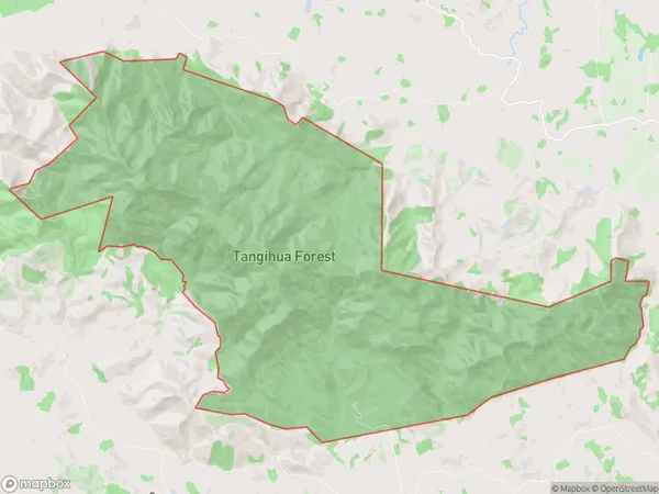
7 people live in Tangihua Forest, Northland, NZTangihua Forest Suburb Area Map (Polygon)
Tangihua Forest Introduction
Tangihua Forest is a forest located in Northland, New Zealand, known for its ancient kauri trees and scenic walking tracks. It is part of the Northland Conservation Park and is a popular destination for nature lovers and outdoor enthusiasts. The forest covers an area of 185 hectares and is home to a variety of plant and animal species, including the Northland kauri, which is one of the most endangered trees in the world.Region
0Suburb Name
Tangihua ForestTangihua Forest Area Map (Street)

Local Authority
Kaipara District, Whangarei DistrictFull Address
Tangihua Forest, Kaipara District, Whangarei District, New ZealandAddress Type
Conservation Land in Major Locality Northland Conservation ParkTangihua Forest Suburb Map (Satellite)

Country
Main Region in AU
NorthlandTangihua Forest Region Map

Coordinates
-35.86802485,174.116152109075 (latitude/longitude)Distances
The distance from Tangihua Forest, Northland Conservation Park, Kaipara District, Whangarei District to NZ Top 10 Cities