Houto Forest Area, Houto Forest Postcode & Map in Houto Forest
Houto Forest Area, Houto Forest Postcode & Map in Houto Forest, Kaipara District,
Houto Forest, Kaipara District,
Houto Forest Area (estimated)
-1.2 square kilometersHouto Forest Population (estimated)
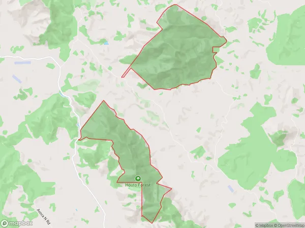
0 people live in Houto Forest, , NZHouto Forest Suburb Area Map (Polygon)
Houto Forest Introduction
Houto Forest is a forest located in Northland Conservation Park in New Zealand. It is known for its ancient kauri trees, some of which are over 2,000 years old. The forest is a popular destination for hikers and nature enthusiasts, with a network of walking tracks and scenic viewpoints. The forest is also home to a variety of bird species, including the Northland kiwi, which is endemic to New Zealand.00Suburb Name
Houto ForestHouto Forest Area Map (Street)
Local Authority
Kaipara DistrictFull Address
Houto Forest, Kaipara District,Address Type
Conservation Land in Major Locality Northland Conservation ParkHouto Forest Suburb Map (Satellite)
Country
Main Region in AU
Houto Forest Region Map
Coordinates
0,0 (latitude/longitude)Distances
The distance from Houto Forest, Northland Conservation Park, Kaipara District to NZ Top 10 Cities