Marlborough Forest Area, Marlborough Forest Postcode & Map in Marlborough Forest, Kaipara District
Marlborough Forest Area, Marlborough Forest Postcode & Map in Marlborough Forest, Kaipara District, Whangarei District, New Zealand
Marlborough Forest, Kaipara District, Whangarei District, New Zealand
Marlborough Forest Area (estimated)
48.7 square kilometersMarlborough Forest Population (estimated)
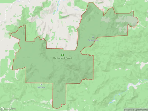
0 people live in Marlborough Forest, Northland, NZMarlborough Forest Suburb Area Map (Polygon)
Marlborough Forest Introduction
Marlborough Forest is a 1,000-hectare forest located in Northland, New Zealand, and is known for its diverse range of plant and animal species. It is home to several threatened species, including the Northland kauri, Northland brown kiwi, and Northland long-tailed bat. The forest is also a popular destination for hiking, mountain biking, and hunting.Region
0Suburb Name
Marlborough ForestMarlborough Forest Area Map (Street)

Local Authority
Kaipara District, Whangarei DistrictFull Address
Marlborough Forest, Kaipara District, Whangarei District, New ZealandAddress Type
Conservation Land in Major Locality Northland Conservation ParkMarlborough Forest Suburb Map (Satellite)

Country
Main Region in AU
NorthlandMarlborough Forest Region Map

Coordinates
-35.66987995,173.72131629122 (latitude/longitude)Distances
The distance from Marlborough Forest, Northland Conservation Park, Kaipara District, Whangarei District to NZ Top 10 Cities