Puketi Forest Area, Puketi Forest Postcode & Map in Puketi Forest
Puketi Forest Area, Puketi Forest Postcode & Map in Puketi Forest, Far North District,
Puketi Forest, Far North District,
Puketi Forest Area (estimated)
88.5 square kilometersPuketi Forest Population (estimated)
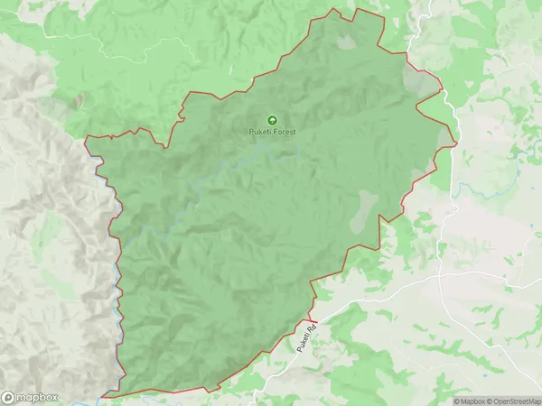
17 people live in Puketi Forest, , NZPuketi Forest Suburb Area Map (Polygon)
Puketi Forest Introduction
Puketi Forest is a forest located in Northland Conservation Park in New Zealand. It is known for its ancient kauri trees, some of which are over 1,500 years old. The forest is a popular destination for hikers and nature enthusiasts, with a network of walking tracks and a visitors center that provides information about the forest's history and ecology.00Suburb Name
Puketi ForestPuketi Forest Area Map (Street)
Local Authority
Far North DistrictFull Address
Puketi Forest, Far North District,Address Type
Conservation Land in Major Locality Northland Conservation ParkPuketi Forest Suburb Map (Satellite)
Country
Main Region in AU
Puketi Forest Region Map
Coordinates
0,0 (latitude/longitude)Distances
The distance from Puketi Forest, Northland Conservation Park, Far North District to NZ Top 10 Cities