Whangaripo Area, Whangaripo Postcode(0972) & Map in Whangaripo
Whangaripo Area, Whangaripo Postcode(0972) & Map in Whangaripo, Auckland, New Zealand
Whangaripo, Auckland, New Zealand
Whangaripo Postcodes
Whangaripo Area (estimated)
95.1 square kilometersWhangaripo Population (estimated)
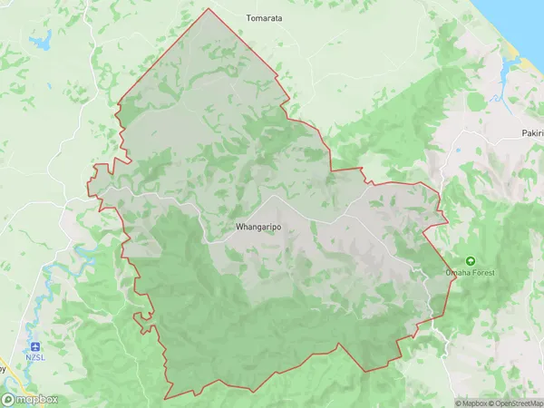
555 people live in Whangaripo, Rodney, NZWhangaripo Suburb Area Map (Polygon)
Whangaripo Introduction
Whangaripo is a small coastal village located in Wellsford, Auckland, New Zealand. It is known for its beautiful beaches, lush forests, and tranquil atmosphere. The village has a population of around 3,000 people and is surrounded by stunning natural scenery, including the Piha Mountains and the Tawharanui Forest Park. Whangaripo is a popular destination for tourists and locals alike, with many activities to enjoy, such as hiking, fishing, and kayaking.Region
Major City
Suburb Name
WhangaripoOther Name(s)
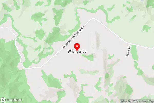
Wayby ValleyWhangaripo Area Map (Street)
Local Authority
AucklandFull Address
Whangaripo, Auckland, New ZealandAddress Type
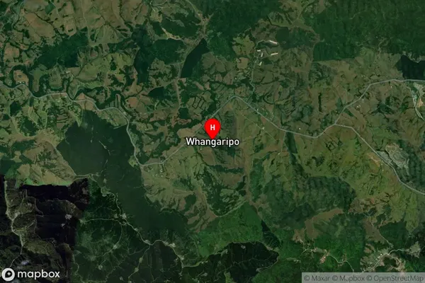
Locality in Town WellsfordWhangaripo Suburb Map (Satellite)
Country
Main Region in AU
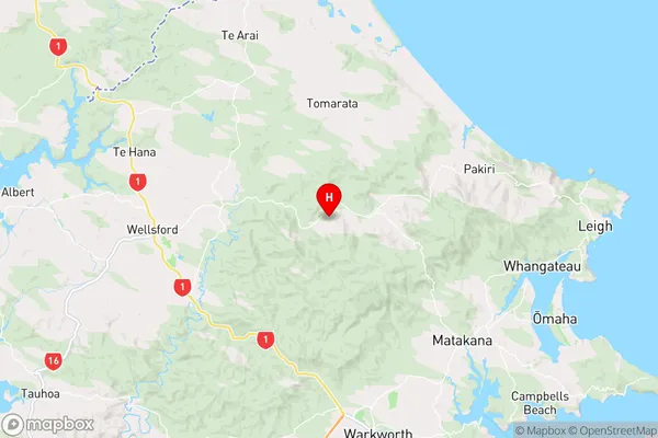
AucklandWhangaripo Region Map
Coordinates
-36.2896355,174.6333932 (latitude/longitude)Distances
The distance from Whangaripo, Wellsford, Auckland to NZ Top 10 Cities