Mayor Island / Tuhua Area, Mayor Island / Tuhua Postcode & Map in Mayor Island / Tuhua
Mayor Island / Tuhua Area, Mayor Island / Tuhua Postcode & Map in Mayor Island / Tuhua, Area outside Territorial Authority, New Zealand
Mayor Island / Tuhua, Area outside Territorial Authority, New Zealand
Mayor Island / Tuhua Area (estimated)
15.8 square kilometersMayor Island / Tuhua Population (estimated)
0 people live in Mayor Island / Tuhua, Bay of Plenty, NZMayor Island / Tuhua Suburb Area Map (Polygon)
Mayor Island / Tuhua Introduction
Mayor Island / Tuhua is a small island in the Bay of Plenty, New Zealand. It is known for its stunning natural beauty, including crystal-clear waters, white sand beaches, and lush tropical forests. The island is a popular destination for outdoor activities such as hiking, snorkeling, and kayaking. It is also home to a variety of bird species, including the rare New Zealand kiwi. The island has a population of around 100 people and is accessible by boat or helicopter.Region
Suburb Name
Mayor Island / Tuhua (Maori Name: Mayor Island / Tūhua)Other Name(s)
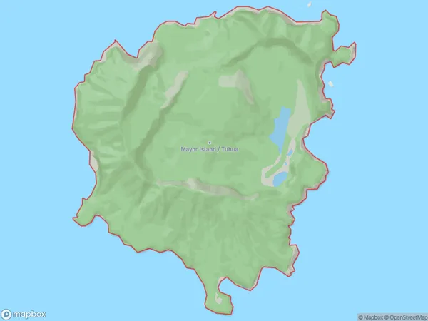
Mayor Island, Tuhua, Bay Of PlentyMayor Island / Tuhua Area Map (Street)

Local Authority
Area outside Territorial AuthorityFull Address
Mayor Island / Tuhua, Area outside Territorial Authority, New ZealandAddress Type
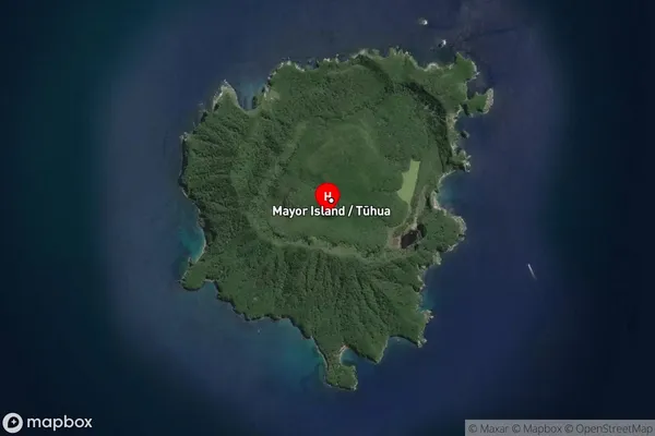
IslandMayor Island / Tuhua Suburb Map (Satellite)
Country
Main Region in AU
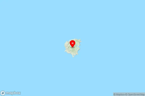
Bay of PlentyMayor Island / Tuhua Region Map
Coordinates
-37.28897635,176.25468008551 (latitude/longitude)Distances
The distance from Mayor Island / Tuhua, , Area outside Territorial Authority to NZ Top 10 Cities