Kapiti Island Area, Kapiti Island Postcode & Map in Kapiti Island
Kapiti Island Area, Kapiti Island Postcode & Map in Kapiti Island, Kapiti Coast District, New Zealand
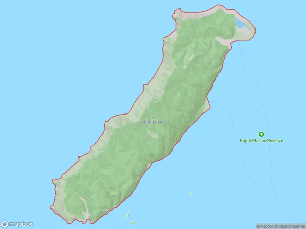
Kapiti Island, Kapiti Coast District, New Zealand
Kapiti Island Area (estimated)
23.1 square kilometersKapiti Island Population (estimated)
0 people live in Kapiti Island, Wellington, NZKapiti Island Suburb Area Map (Polygon)
Kapiti Island Introduction
Kapiti Island is located off the coast of Wellington, New Zealand, and is known for its natural beauty, including lush forests, sandy beaches, and crystal-clear waters. It is a popular destination for outdoor enthusiasts, with activities such as hiking, biking, and wildlife watching. The island also has a rich cultural heritage, with several historic sites and museums.Region
Suburb Name
Kapiti IslandKapiti Island Area Map (Street)

Local Authority
Kapiti Coast DistrictFull Address
Kapiti Island, Kapiti Coast District, New ZealandAddress Type
IslandKapiti Island Suburb Map (Satellite)

Country
Main Region in AU
WellingtonKapiti Island Region Map

Coordinates
-40.8550388,174.915133907861 (latitude/longitude)Distances
The distance from Kapiti Island, , Kapiti Coast District to NZ Top 10 Cities