Kamahi Area, Kamahi Postcode(9893) & Map in Kamahi
Kamahi Area, Kamahi Postcode(9893) & Map in Kamahi, Southland District, New Zealand
Kamahi, Southland District, New Zealand
Kamahi Postcodes
Kamahi Area (estimated)
22.3 square kilometersKamahi Population (estimated)
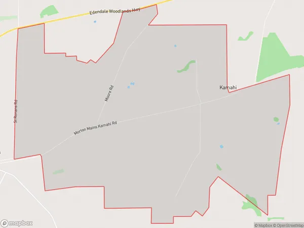
55 people live in Kamahi, Waihopai Toetoe Community, NZKamahi Suburb Area Map (Polygon)
Kamahi Introduction
Kamahi is a small rural community in Southland, New Zealand. It is located on the banks of the Kamahi River, and is known for its scenic beauty and relaxed atmosphere. The community has a primary school, a post office, and a small supermarket. The surrounding area is popular for outdoor activities such as hiking, fishing, and hunting.Region
Major City
Suburb Name
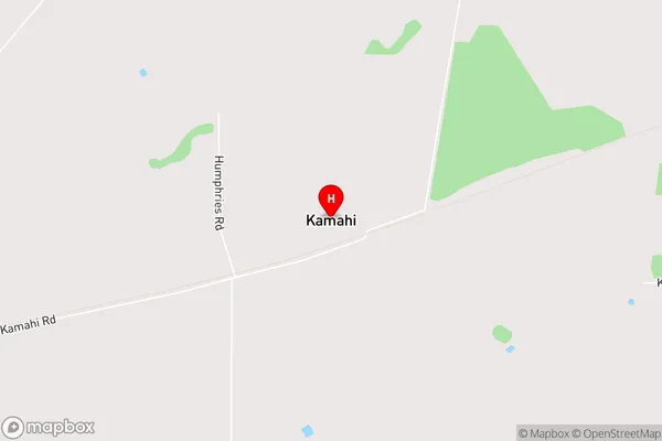
KamahiKamahi Area Map (Street)
Local Authority
Southland DistrictFull Address
Kamahi, Southland District, New ZealandAddress Type
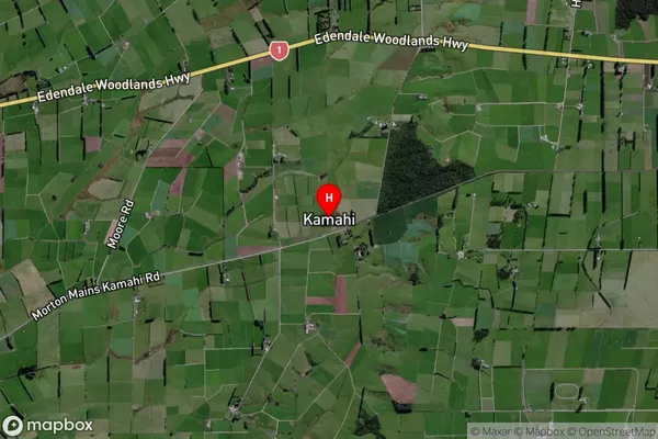
Locality in Town WyndhamKamahi Suburb Map (Satellite)
Country
Main Region in AU
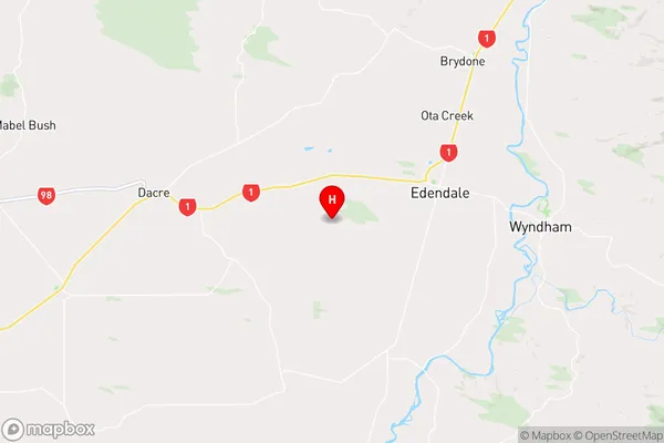
SouthlandKamahi Region Map
Coordinates
-46.32679,168.7182 (latitude/longitude)Distances
The distance from Kamahi, Wyndham, Southland District to NZ Top 10 Cities