Ruapuke Island Area, Ruapuke Island Postcode & Map in Ruapuke Island
Ruapuke Island Area, Ruapuke Island Postcode & Map in Ruapuke Island, Southland District, New Zealand
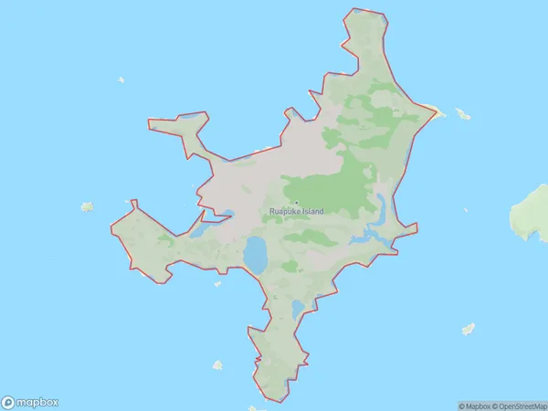
Ruapuke Island, Southland District, New Zealand
Ruapuke Island Area (estimated)
17.6 square kilometersRuapuke Island Population (estimated)
0 people live in Ruapuke Island, Southland, NZRuapuke Island Suburb Area Map (Polygon)
Ruapuke Island Introduction
Ruapuke Island is a small island in Fiordland, Southland, New Zealand. It is known for its stunning natural beauty, including lush forests, crystal-clear lakes, and breathtaking waterfalls. The island is a popular destination for hiking, camping, and wildlife viewing, with a variety of species of birds and animals native to the region. Ruapuke Island is also home to a historic stone church, built in the 1880s by a group of Scottish settlers.Region
Suburb Name
Ruapuke IslandRuapuke Island Area Map (Street)

Local Authority
Southland DistrictFull Address
Ruapuke Island, Southland District, New ZealandAddress Type
IslandRuapuke Island Suburb Map (Satellite)

Country
Main Region in AU
SouthlandRuapuke Island Region Map

Coordinates
-46.767397,168.515076590634 (latitude/longitude)Distances
The distance from Ruapuke Island, , Southland District to NZ Top 10 Cities