Te Paepae o Aotea Area, Te Paepae o Aotea Postcode & Map in Te Paepae o Aotea
Te Paepae o Aotea Area, Te Paepae o Aotea Postcode & Map in Te Paepae o Aotea, Area outside Territorial Authority, New Zealand
Te Paepae o Aotea, Area outside Territorial Authority, New Zealand
Te Paepae o Aotea Area (estimated)
0.0 square kilometersTe Paepae o Aotea Population (estimated)
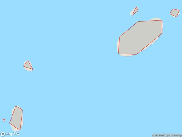
0 people live in Te Paepae o Aotea, Bay of Plenty, NZTe Paepae o Aotea Suburb Area Map (Polygon)
Te Paepae o Aotea Introduction
Te Papa o Aotea is a museum located in the Bay of Plenty, New Zealand, dedicated to showcasing the country's rich Maori culture and history. It features exhibits and artifacts from the Maori people, including the world-renowned Te Papa Tongarewa, the largest carved wooden vessel in the world. The museum also offers interactive displays, cultural performances, and guided tours.Region
Suburb Name
Te Paepae o AoteaOther Name(s)
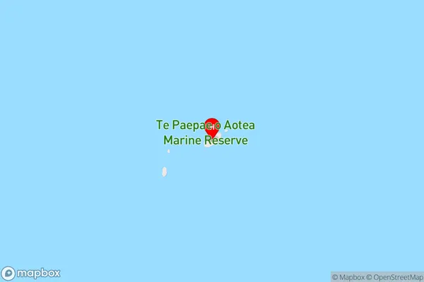
Volkner Rocks, Bay Of PlentyTe Paepae o Aotea Area Map (Street)
Local Authority
Area outside Territorial AuthorityFull Address
Te Paepae o Aotea, Area outside Territorial Authority, New ZealandAddress Type
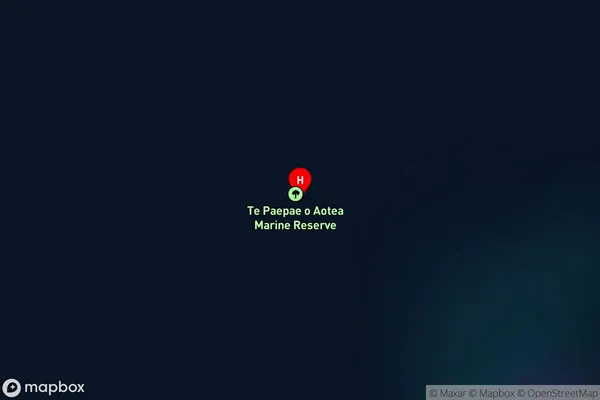
IslandTe Paepae o Aotea Suburb Map (Satellite)
Country
Main Region in AU
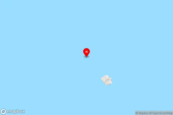
Bay of PlentyTe Paepae o Aotea Region Map
Coordinates
-37.4772233,177.133607254459 (latitude/longitude)Distances
The distance from Te Paepae o Aotea, , Area outside Territorial Authority to NZ Top 10 Cities