The Knobbys Area, The Knobbys Postcode & Map in The Knobbys
The Knobbys Area, The Knobbys Postcode & Map in The Knobbys, Marlborough District, New Zealand
The Knobbys, Marlborough District, New Zealand
The Knobbys Area (estimated)
-1.2 square kilometersThe Knobbys Population (estimated)
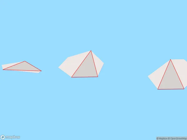
0 people live in The Knobbys, Marlborough, NZThe Knobbys Suburb Area Map (Polygon)
Region
Suburb Name
The KnobbysOther Name(s)
Port UnderwoodThe Knobbys Area Map (Street)

Local Authority
Marlborough DistrictFull Address
The Knobbys, Marlborough District, New ZealandAddress Type
IslandThe Knobbys Suburb Map (Satellite)

Country
Main Region in AU
MarlboroughThe Knobbys Region Map

Coordinates
-41.3074525,174.16640614869 (latitude/longitude)Distances
The distance from The Knobbys, , Marlborough District to NZ Top 10 Cities