The Haystacks Area, The Haystacks Postcode & Map in The Haystacks
The Haystacks Area, The Haystacks Postcode & Map in The Haystacks, Southland District, New Zealand
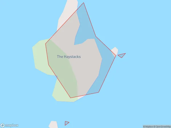
The Haystacks, Southland District, New Zealand
The Haystacks Area (estimated)
0.0 square kilometersThe Haystacks Population (estimated)
0 people live in The Haystacks, Southland, NZThe Haystacks Suburb Area Map (Polygon)
The Haystacks Introduction
The Haystacks is a rock formation located in Fiordland National Park in Southland, New Zealand. It is a popular hiking destination and is known for its stunning views and unique geological features. The Haystacks are a series of stacked rocks that rise up to 180 meters high and are formed by erosion of volcanic rock.Region
Suburb Name
The HaystacksThe Haystacks Area Map (Street)

Local Authority
Southland DistrictFull Address
The Haystacks, Southland District, New ZealandAddress Type
IslandThe Haystacks Suburb Map (Satellite)

Country
Main Region in AU
SouthlandThe Haystacks Region Map

Coordinates
-46.91500295,168.257524125248 (latitude/longitude)Distances
The distance from The Haystacks, , Southland District to NZ Top 10 Cities