Ashwick Flat Area, Ashwick Flat Postcode & Map in Ashwick Flat
Ashwick Flat Area, Ashwick Flat Postcode & Map in Ashwick Flat, Mackenzie District, New Zealand
Ashwick Flat, Mackenzie District, New Zealand
Ashwick Flat Area (estimated)
139.9 square kilometersAshwick Flat Population (estimated)
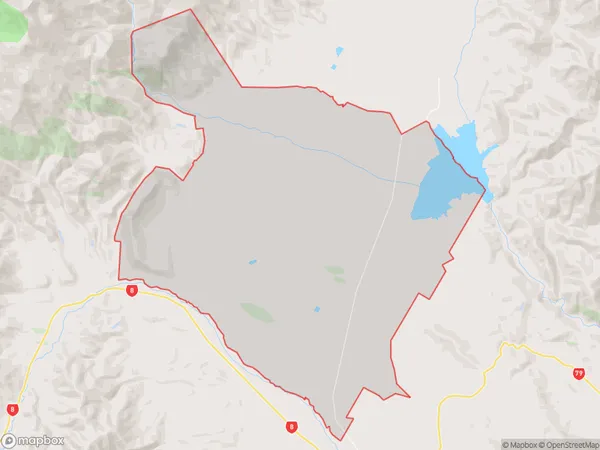
276 people live in Ashwick Flat, Canterbury, NZAshwick Flat Suburb Area Map (Polygon)

Ashwick Flat Introduction
The 'Ashwick Flat' is a historic property located in Fairlie, Canterbury, New Zealand. Built-in 1870, it is a well-preserved example of a Victorian-era homestead and is listed as a 'Category I' historic place by the Heritage New Zealand. The property features a symmetrical layout with a central hallway, spacious rooms, and original woodwork and fixtures. It is surrounded by picturesque gardens and farmland and has a rich history associated with the local community.Region
Major City
Suburb Name
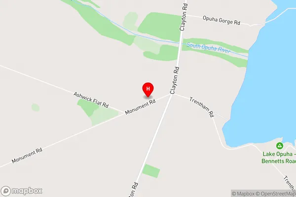
Ashwick FlatAshwick Flat Area Map (Street)

Local Authority
Mackenzie DistrictFull Address
Ashwick Flat, Mackenzie District, New ZealandAddress Type
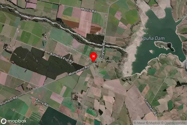
Locality in Town FairlieAshwick Flat Suburb Map (Satellite)

Country
Main Region in AU
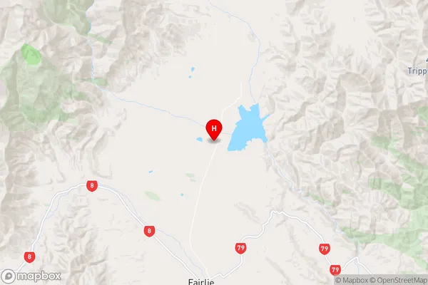
CanterburyAshwick Flat Region Map

Coordinates
-44.0004243,170.8413935 (latitude/longitude)Distances
The distance from Ashwick Flat, Fairlie, Mackenzie District to NZ Top 10 Cities