Te Pahi Islands Area, Te Pahi Islands Postcode & Map in Te Pahi Islands
Te Pahi Islands Area, Te Pahi Islands Postcode & Map in Te Pahi Islands, Far North District, New Zealand
Te Pahi Islands, Far North District, New Zealand
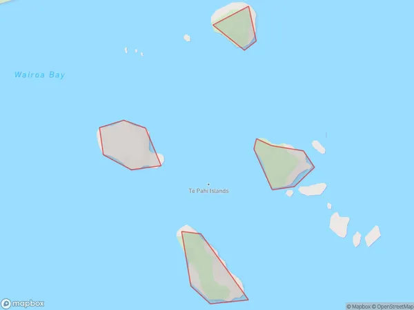
Te Pahi Islands Area (estimated)
-1.2 square kilometersTe Pahi Islands Population (estimated)
0 people live in Te Pahi Islands, Bay of Islands-Whangaroa Community, NZTe Pahi Islands Suburb Area Map (Polygon)
Te Pahi Islands Introduction
The Te Pahi Islands are a group of islands off the coast of Northland, New Zealand. They are known for their rugged terrain, stunning beaches, and rich cultural heritage. The islands are home to a small community of Māori people who have lived there for centuries. The islands are also a popular destination for tourists, who can explore the ancient ruins, hike through the forests, and swim in the crystal-clear waters.Region
Major City
Suburb Name
Te Pahi IslandsOther Name(s)
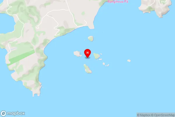
Bay Of IslandsTe Pahi Islands Area Map (Street)
Local Authority
Far North DistrictFull Address
Te Pahi Islands, Far North District, New ZealandAddress Type
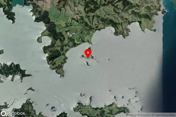
IslandTe Pahi Islands Suburb Map (Satellite)
Country
Main Region in AU
NorthlandTe Pahi Islands Region Map

Coordinates
-35.1847672,174.0828593 (latitude/longitude)Distances
The distance from Te Pahi Islands, , Far North District to NZ Top 10 Cities