Tara Rocks Area, Tara Rocks Postcode & Map in Tara Rocks
Tara Rocks Area, Tara Rocks Postcode & Map in Tara Rocks, Whangarei District, New Zealand
Tara Rocks, Whangarei District, New Zealand
Tara Rocks Area (estimated)
-1.2 square kilometersTara Rocks Population (estimated)
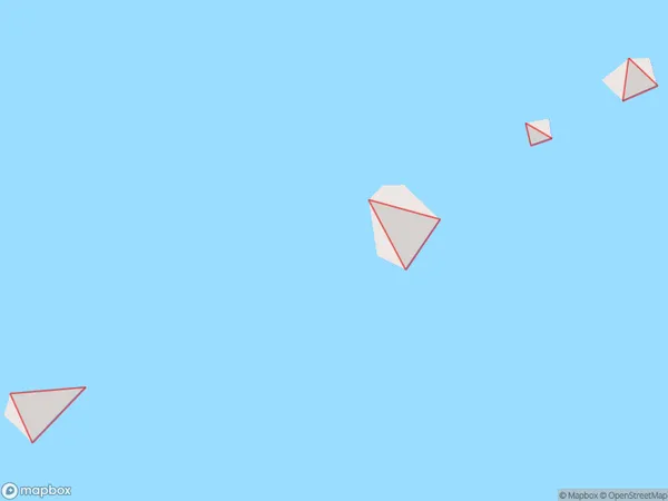
0 people live in Tara Rocks, Northland, NZTara Rocks Suburb Area Map (Polygon)
Tara Rocks Introduction
Tara Rocks is a historic site located in Northland, New Zealand, that is important to the local Māori culture. It is a place of spiritual and cultural significance, with many ancient carvings and structures. The rocks are also a popular tourist attraction, with visitors coming to see the stunning natural beauty and learn about the area's rich history.Region
Suburb Name
Tara RocksOther Name(s)
Hen And Chicken IslandsTara Rocks Area Map (Street)

Local Authority
Whangarei DistrictFull Address
Tara Rocks, Whangarei District, New ZealandAddress Type
IslandTara Rocks Suburb Map (Satellite)

Country
Main Region in AU
NorthlandTara Rocks Region Map

Coordinates
-35.8903598,174.710986167817 (latitude/longitude)Distances
The distance from Tara Rocks, , Whangarei District to NZ Top 10 Cities