Kaipara Flats Area, Kaipara Flats Postcode(0984) & Map in Kaipara Flats
Kaipara Flats Area, Kaipara Flats Postcode(0984) & Map in Kaipara Flats, Auckland, New Zealand
Kaipara Flats, Auckland, New Zealand
Kaipara Flats Postcodes
Kaipara Flats Area (estimated)
99.7 square kilometersKaipara Flats Population (estimated)
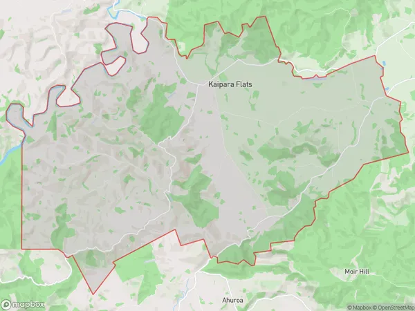
1149 people live in Kaipara Flats, Rodney, NZKaipara Flats Suburb Area Map (Polygon)

Kaipara Flats Introduction
The Kaipara Flats is a former settlement located in Warkworth, Auckland, New Zealand. It was established in the 1860s as a farming community and was known for its fertile soil and picturesque surroundings. The flats were developed in the 1950s and 1960s, and many of the original farmhouses have been converted into homes. The area is popular with families and retirees and is known for its peaceful atmosphere and close proximity to the city.Region
Major City
Suburb Name
Kaipara FlatsOther Name(s)
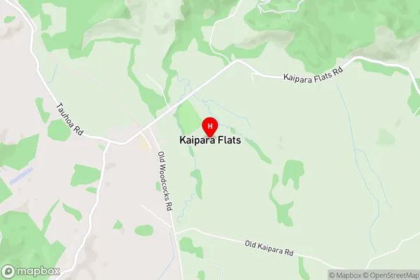
Kourawhero, WoodcocksKaipara Flats Area Map (Street)

Local Authority
AucklandFull Address
Kaipara Flats, Auckland, New ZealandAddress Type
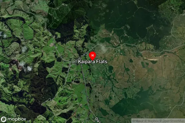
Locality in Town WarkworthKaipara Flats Suburb Map (Satellite)

Country
Main Region in AU
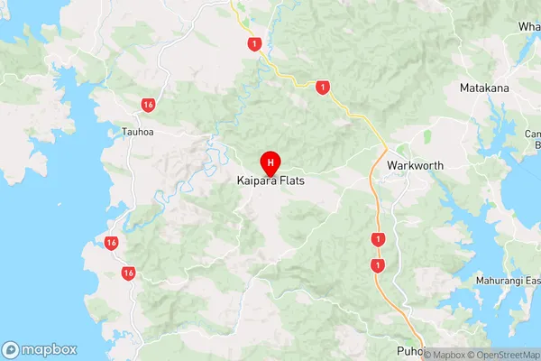
AucklandKaipara Flats Region Map

Coordinates
-36.4076749,174.553872 (latitude/longitude)Distances
The distance from Kaipara Flats, Warkworth, Auckland to NZ Top 10 Cities