Small Craft Harbour Islands Area, Small Craft Harbour Islands Postcode & Map in Small Craft Harbour Islands
Small Craft Harbour Islands Area, Small Craft Harbour Islands Postcode & Map in Small Craft Harbour Islands, Southland District, New Zealand
Small Craft Harbour Islands, Southland District, New Zealand
Small Craft Harbour Islands Area (estimated)
0.0 square kilometersSmall Craft Harbour Islands Population (estimated)
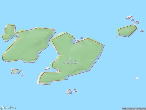
0 people live in Small Craft Harbour Islands, Southland, NZSmall Craft Harbour Islands Suburb Area Map (Polygon)
Small Craft Harbour Islands Introduction
Southland, New Zealand's Small Craft Harbour Islands are a group of islands that are home to a variety of marine life and are a popular tourist destination. The islands are located in Fiordland National Park and are accessible by boat or helicopter. The islands include a range of activities, such as hiking, fishing, and kayaking, and are home to a variety of bird species, including penguins and albatrosses.Region
Suburb Name
Small Craft Harbour IslandsOther Name(s)
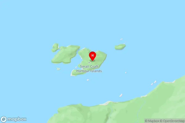
Te Korowhakaunu / Cunaris SoundSmall Craft Harbour Islands Area Map (Street)
Local Authority
Southland DistrictFull Address
Small Craft Harbour Islands, Southland District, New ZealandAddress Type
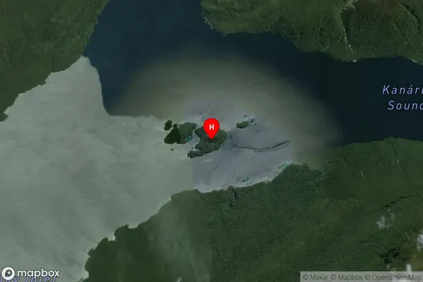
IslandSmall Craft Harbour Islands Suburb Map (Satellite)
Country
Main Region in AU
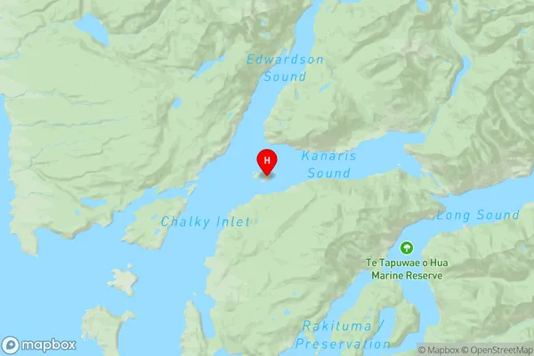
SouthlandSmall Craft Harbour Islands Region Map
Coordinates
-45.96907165,166.64868781435 (latitude/longitude)Distances
The distance from Small Craft Harbour Islands, , Southland District to NZ Top 10 Cities