Shag Islands Area, Shag Islands Postcode & Map in Shag Islands
Shag Islands Area, Shag Islands Postcode & Map in Shag Islands, Southland District, New Zealand
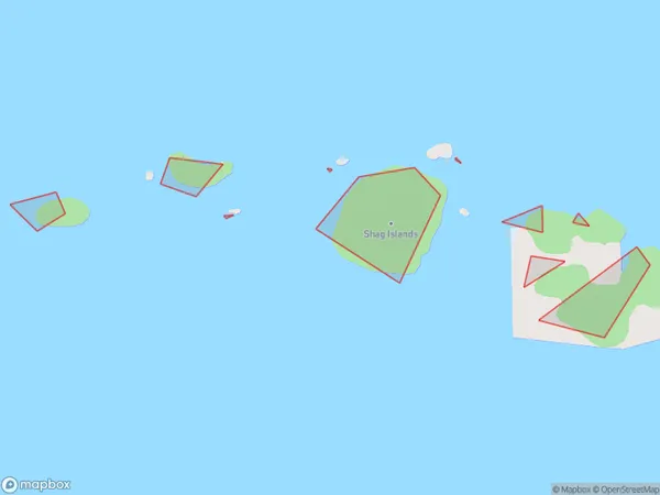
Shag Islands, Southland District, New Zealand
Shag Islands Area (estimated)
-1.2 square kilometersShag Islands Population (estimated)
0 people live in Shag Islands, Southland, NZShag Islands Suburb Area Map (Polygon)
Shag Islands Introduction
The Shag Islands are a group of three small islands located off the coast of Southland, New Zealand. They are known for their rugged terrain, scenic views, and diverse wildlife, including seals, penguins, and albatrosses. The islands are a popular destination for hiking, camping, and wildlife watching, and are part of the Fiordland National Park.Region
Suburb Name
Shag IslandsOther Name(s)
Tamatea / Dusky SoundShag Islands Area Map (Street)

Local Authority
Southland DistrictFull Address
Shag Islands, Southland District, New ZealandAddress Type
IslandShag Islands Suburb Map (Satellite)

Country
Main Region in AU
SouthlandShag Islands Region Map

Coordinates
-45.7329238,166.775243603784 (latitude/longitude)Distances
The distance from Shag Islands, , Southland District to NZ Top 10 Cities