Kaiapoi Area, Kaiapoi Postcode(7630) & Map in Kaiapoi
Kaiapoi Area, Kaiapoi Postcode(7630) & Map in Kaiapoi, Waimakariri District, New Zealand
Kaiapoi, Waimakariri District, New Zealand
Kaiapoi Area (estimated)
34.6 square kilometersKaiapoi Population (estimated)
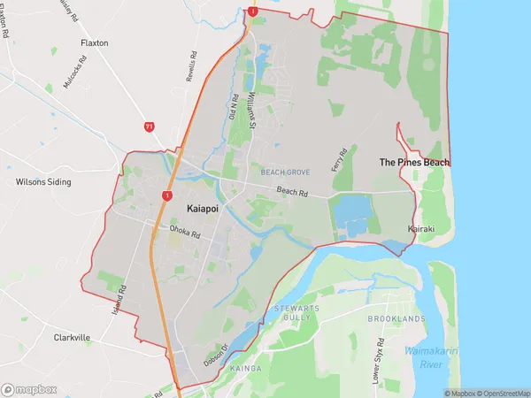
13838 people live in Kaiapoi, Canterbury, NZKaiapoi Suburb Area Map (Polygon)
Kaiapoi Introduction
Kaiapoi is a city in Canterbury, New Zealand, with a population of around 45,000. It is located on the banks of the Kaiapoi River and is known for its historic buildings, including the Kaiapoi Old Town Hall and the Kaiapoi Museum. The city is also home to a number of parks and recreational facilities, including Kaiapoi Reserve and Kaiapoi Gardens. Kaiapoi is a popular destination for tourists and has a number of hotels and restaurants.Region
Major City
Suburb Name
KaiapoiOther Name(s)
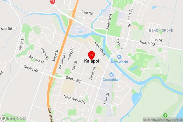
Camside, OhapukuKaiapoi Area Map (Street)
Local Authority
Waimakariri DistrictFull Address
Kaiapoi, Waimakariri District, New ZealandAddress Type
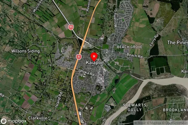
Suburb in Town KaiapoiKaiapoi Suburb Map (Satellite)
Country
Main Region in AU
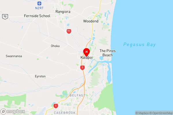
CanterburyKaiapoi Region Map
Coordinates
-43.3831623,172.6521689 (latitude/longitude)Distances
The distance from Kaiapoi, Kaiapoi, Waimakariri District to NZ Top 10 Cities