Rangitoto Islands Area, Rangitoto Islands Postcode & Map in Rangitoto Islands
Rangitoto Islands Area, Rangitoto Islands Postcode & Map in Rangitoto Islands, Marlborough District, New Zealand
Rangitoto Islands, Marlborough District, New Zealand
Rangitoto Islands Area (estimated)
0.0 square kilometersRangitoto Islands Population (estimated)
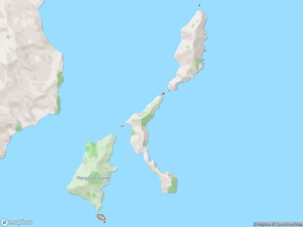
0 people live in Rangitoto Islands, Marlborough, NZRangitoto Islands Suburb Area Map (Polygon)
Rangitoto Islands Introduction
The Rangitoto Islands are a volcanic archipelago situated in the Marlborough Sounds, New Zealand. The islands are a popular tourist destination and are known for their stunning natural beauty, including rugged cliffs, sandy beaches, and crystal-clear waters. The islands are also home to a variety of wildlife, including penguins, seals, and dolphins. The Rangitoto Island Summit Walk is a popular hiking trail that leads to the top of the island, offering panoramic views of the surrounding area. The islands are a UNESCO World Heritage Site and are considered a sacred place by the local Maori people.Region
0Suburb Name
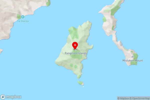
Rangitoto IslandsRangitoto Islands Area Map (Street)
Local Authority
Marlborough DistrictFull Address
Rangitoto Islands, Marlborough District, New ZealandAddress Type
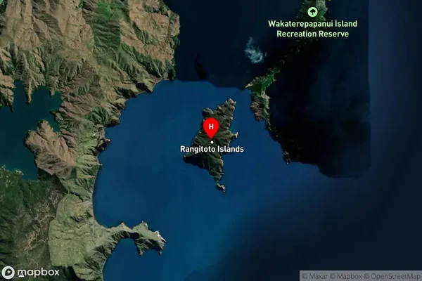
Island in Major Locality Marlborough SoundsRangitoto Islands Suburb Map (Satellite)
Country
Main Region in AU
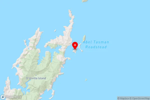
MarlboroughRangitoto Islands Region Map
Coordinates
-40.7763233,173.968545383476 (latitude/longitude)Distances
The distance from Rangitoto Islands, Marlborough Sounds, Marlborough District to NZ Top 10 Cities