Rahui Islands Area, Rahui Islands Postcode & Map in Rahui Islands
Rahui Islands Area, Rahui Islands Postcode & Map in Rahui Islands, Far North District, New Zealand
Rahui Islands, Far North District, New Zealand
Rahui Islands Area (estimated)
-1.2 square kilometersRahui Islands Population (estimated)
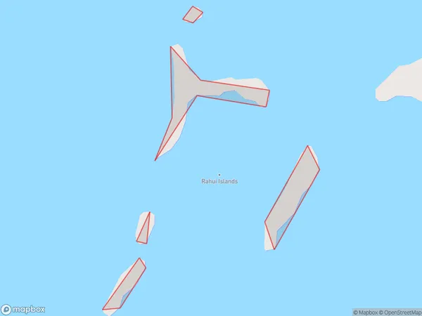
0 people live in Rahui Islands, Bay of Islands-Whangaroa Community, NZRahui Islands Suburb Area Map (Polygon)
Rahui Islands Introduction
The Rahui Islands are a group of islands off the coast of Northland, New Zealand. They are known for their unique biodiversity and are a popular destination for birdwatchers and nature enthusiasts. The islands are home to a variety of bird species, including the rare kiwi bird. The islands are also important for their cultural and historical significance to the local Māori people.Region
Major City
Suburb Name
Rahui IslandsOther Name(s)
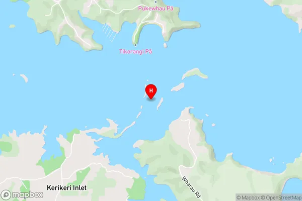
Bay Of IslandsRahui Islands Area Map (Street)
Local Authority
Far North DistrictFull Address
Rahui Islands, Far North District, New ZealandAddress Type
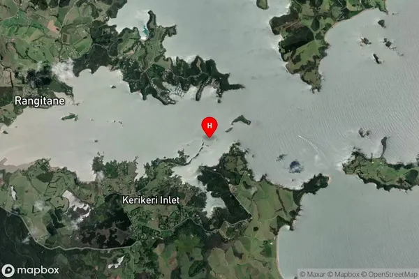
IslandRahui Islands Suburb Map (Satellite)
Country
Main Region in AU
NorthlandRahui Islands Region Map

Coordinates
-35.2033817,174.0415209 (latitude/longitude)Distances
The distance from Rahui Islands, , Far North District to NZ Top 10 Cities