Kahuranaki Area, Kahuranaki Postcode(4295) & Map in Kahuranaki
Kahuranaki Area, Kahuranaki Postcode(4295) & Map in Kahuranaki, Hastings District, New Zealand
Kahuranaki, Hastings District, New Zealand
Kahuranaki Postcodes
Kahuranaki Area (estimated)
90.2 square kilometersKahuranaki Population (estimated)
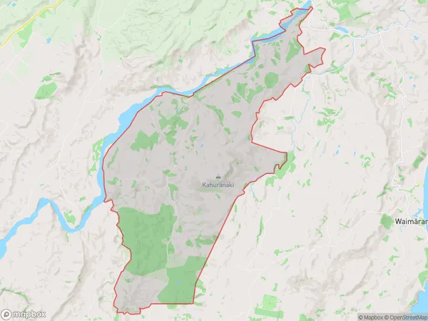
301 people live in Kahuranaki, Hawke's Bay, NZKahuranaki Suburb Area Map (Polygon)
Kahuranaki Introduction
Kahuranaki is a small rural community in Hawke's Bay, New Zealand, known for its stunning natural scenery, including rolling hills, picturesque farms, and the Kahuranaki River. It is located approximately 30 minutes from Hastings and has a population of around 100 people. The community is surrounded by lush farmland and has a peaceful, laid-back atmosphere. It is a popular destination for outdoor activities such as hiking, cycling, and fishing, and is also home to a number of historic buildings and landmarks.Region
0Suburb Name
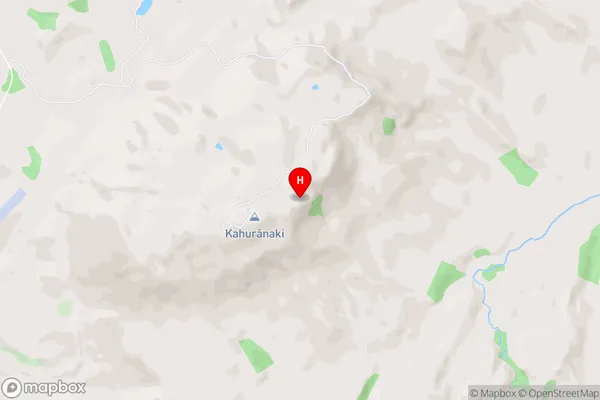
Kahuranaki (Maori Name: Kahurānaki)Kahuranaki Area Map (Street)
Local Authority
Hastings DistrictFull Address
Kahuranaki, Hastings District, New ZealandAddress Type
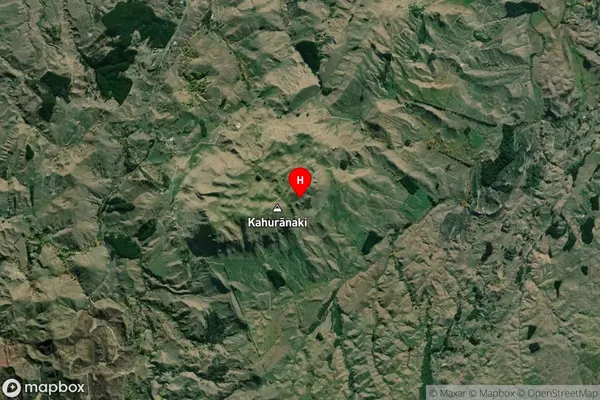
Locality in Major Locality KahuranakiKahuranaki Suburb Map (Satellite)
Country
Main Region in AU
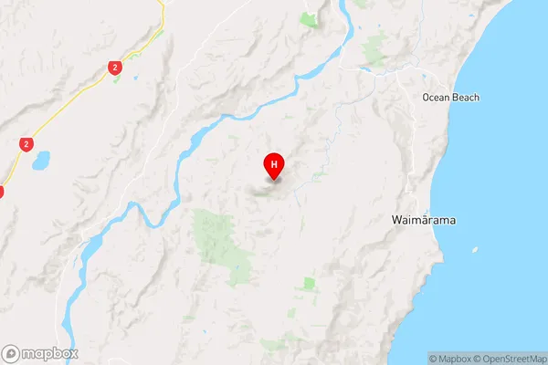
Hawke's BayKahuranaki Region Map
Coordinates
-39.79421,176.87661 (latitude/longitude)Distances
The distance from Kahuranaki, Kahuranaki, Hastings District to NZ Top 10 Cities