Providence Rocks Area, Providence Rocks Postcode & Map in Providence Rocks
Providence Rocks Area, Providence Rocks Postcode & Map in Providence Rocks, Area outside Territorial Authority, New Zealand
Providence Rocks, Area outside Territorial Authority, New Zealand
Providence Rocks Area (estimated)
-1.2 square kilometersProvidence Rocks Population (estimated)
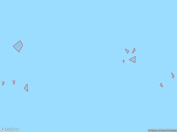
0 people live in Providence Rocks, Southland, NZProvidence Rocks Suburb Area Map (Polygon)
Providence Rocks Introduction
Providence Rocks is a rock formation located in the Catlins Coast region of Southland, New Zealand. It is known for its distinctive shape and is a popular tourist attraction. The rocks are believed to have formed over millions of years due to volcanic activity and erosion.Region
Suburb Name
Providence RocksProvidence Rocks Area Map (Street)

Local Authority
Area outside Territorial AuthorityFull Address
Providence Rocks, Area outside Territorial Authority, New ZealandAddress Type
IslandProvidence Rocks Suburb Map (Satellite)

Country
Main Region in AU
SouthlandProvidence Rocks Region Map

Coordinates
-46.0156159,166.461159873767 (latitude/longitude)Distances
The distance from Providence Rocks, , Area outside Territorial Authority to NZ Top 10 Cities