Josephville Area, Josephville Postcode & Map in Josephville
Josephville Area, Josephville Postcode & Map in Josephville, Southland District, New Zealand
Josephville, Southland District, New Zealand
Josephville Area (estimated)
34.5 square kilometersJosephville Population (estimated)
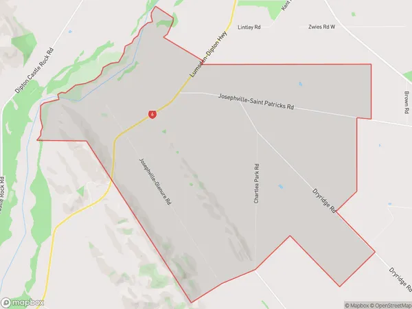
43 people live in Josephville, Northern Community, NZJosephville Suburb Area Map (Polygon)
Josephville Introduction
Josephville is a small rural community in Southland, New Zealand. It is located on the banks of the Balfour River, 12 km south of Balfour and 132 km south of Invercargill. The area was first settled by Europeans in the 1860s, and the town was established in 1876. Josephville is known for its scenic surroundings, including the Balfour Forest Park and the nearby Mount Te Aroha. The population of the town is around 1,000 people.Region
Major City
Suburb Name
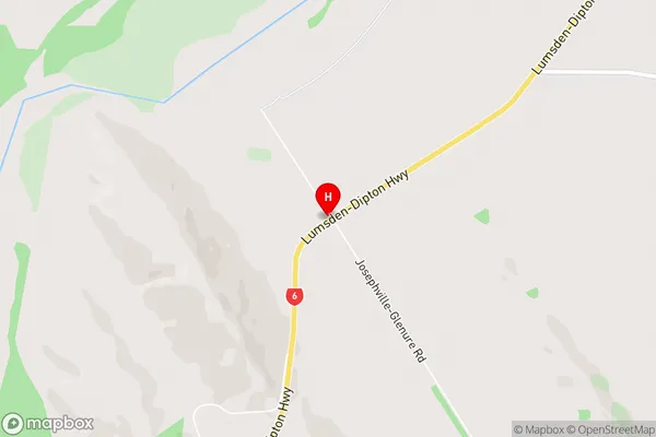
JosephvilleJosephville Area Map (Street)
Local Authority
Southland DistrictFull Address
Josephville, Southland District, New ZealandAddress Type
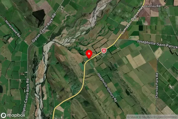
Locality in Major Locality BalfourJosephville Suburb Map (Satellite)
Country
Main Region in AU
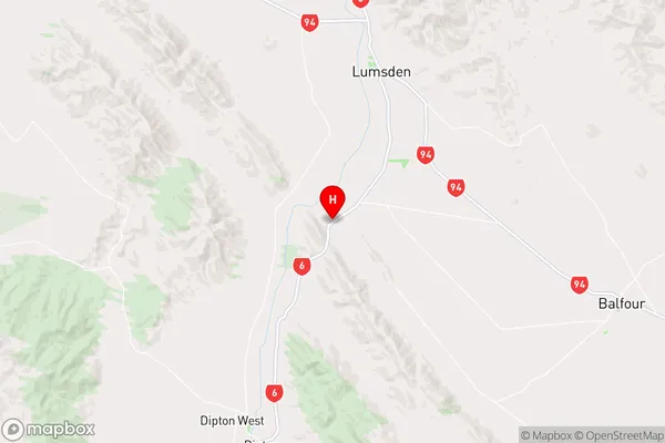
SouthlandJosephville Region Map
Coordinates
-45.8033452,168.4121919 (latitude/longitude)Distances
The distance from Josephville, Balfour, Southland District to NZ Top 10 Cities