Princes Islands Area, Princes Islands Postcode & Map in Princes Islands
Princes Islands Area, Princes Islands Postcode & Map in Princes Islands, Area outside Territorial Authority, New Zealand
Princes Islands, Area outside Territorial Authority, New Zealand
Princes Islands Area (estimated)
-1.2 square kilometersPrinces Islands Population (estimated)
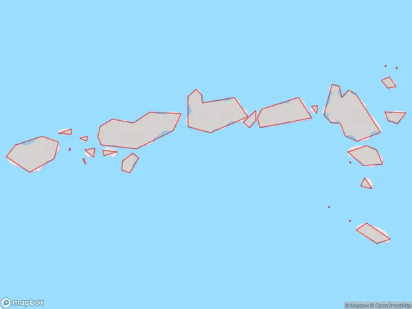
0 people live in Princes Islands, Brighton, NZPrinces Islands Suburb Area Map (Polygon)
Princes Islands Introduction
The Princes Islands are a group of islands off the coast of Otago, New Zealand. They are known for their scenic beauty, including rugged cliffs, sandy beaches, and lush forests. The islands are a popular destination for hiking, camping, and wildlife viewing, with several species of birds and marine mammals found in the area. The largest island in the group is Oban, which is home to a population of around 200 people.Region
Major City
Suburb Name
Princes IslandsOther Name(s)
Manawatawhi/Three Kings Islands (Maori Name: Manawatāwhi/Three Kings Islands)Princes Islands Area Map (Street)

Local Authority
Area outside Territorial AuthorityFull Address
Princes Islands, Area outside Territorial Authority, New ZealandAddress Type
IslandPrinces Islands Suburb Map (Satellite)

Country
Main Region in AU
OtagoPrinces Islands Region Map

Coordinates
-34.17700015,172.043143506028 (latitude/longitude)Distances
The distance from Princes Islands, , Area outside Territorial Authority to NZ Top 10 Cities