Poor Knights Islands Area, Poor Knights Islands Postcode & Map in Poor Knights Islands
Poor Knights Islands Area, Poor Knights Islands Postcode & Map in Poor Knights Islands, Whangarei District, New Zealand
Poor Knights Islands, Whangarei District, New Zealand
Poor Knights Islands Area (estimated)
-1.2 square kilometersPoor Knights Islands Population (estimated)
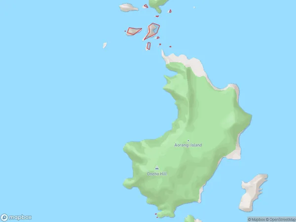
0 people live in Poor Knights Islands, Northland, NZPoor Knights Islands Suburb Area Map (Polygon)
Poor Knights Islands Introduction
The Poor Knights Islands are a group of islands off the coast of Northland, New Zealand. They are known for their rugged terrain, stunning marine life, and unique geological features. The islands are a popular destination for tourists and outdoor enthusiasts, with opportunities for hiking, kayaking, and snorkeling. The Poor Knights Islands are also home to a large colony of New Zealand fur seals.Region
Suburb Name
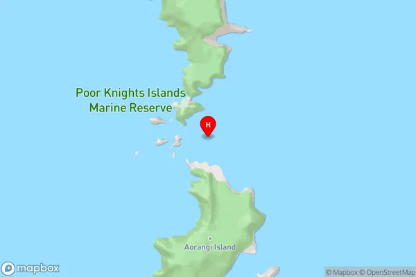
Poor Knights IslandsPoor Knights Islands Area Map (Street)
Local Authority
Whangarei DistrictFull Address
Poor Knights Islands, Whangarei District, New ZealandAddress Type
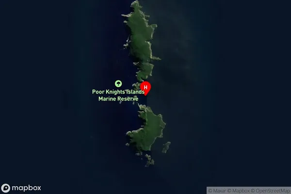
IslandPoor Knights Islands Suburb Map (Satellite)
Country
Main Region in AU
NorthlandPoor Knights Islands Region Map

Coordinates
-35.471741,174.7392521 (latitude/longitude)Distances
The distance from Poor Knights Islands, , Whangarei District to NZ Top 10 Cities