Petrel Islands Area, Petrel Islands Postcode & Map in Petrel Islands
Petrel Islands Area, Petrel Islands Postcode & Map in Petrel Islands, Southland District, New Zealand
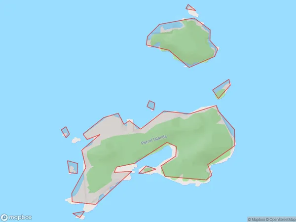
Petrel Islands, Southland District, New Zealand
Petrel Islands Area (estimated)
0.2 square kilometersPetrel Islands Population (estimated)
0 people live in Petrel Islands, Southland, NZPetrel Islands Suburb Area Map (Polygon)
Petrel Islands Introduction
The Petrel Islands are a group of islands off the southern coast of New Zealand's Southland region. They are known for their rich birdlife, including penguins, albatrosses, and shearwaters. The islands are a popular tourist destination and are part of the Fiordland National Park.Region
Suburb Name
Petrel IslandsOther Name(s)
Tamatea / Dusky SoundPetrel Islands Area Map (Street)

Local Authority
Southland DistrictFull Address
Petrel Islands, Southland District, New ZealandAddress Type
IslandPetrel Islands Suburb Map (Satellite)

Country
Main Region in AU
SouthlandPetrel Islands Region Map

Coordinates
-45.7353204,166.520107371848 (latitude/longitude)Distances
The distance from Petrel Islands, , Southland District to NZ Top 10 Cities