Islington Area, Islington Postcode(8042) & Map in Islington
Islington Area, Islington Postcode(8042) & Map in Islington, Marlborough District, New Zealand
Islington, Marlborough District, New Zealand
Islington Postcodes
Islington Area (estimated)
0.7 square kilometersIslington Population (estimated)
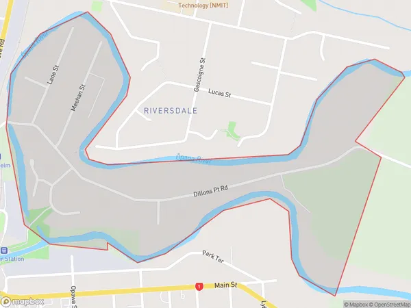
824 people live in Islington, Halswell-Hornby-Riccarton Community, NZIslington Suburb Area Map (Polygon)
Islington Introduction
Islington is a suburb of Christchurch, New Zealand. It is located in the eastern suburbs of the city, bordering the Waimakariri District. The suburb was named after Islington, London, and was established in the 1860s. It is known for its historic homes and gardens, and is home to a variety of cultural institutions, including the Christchurch Art Gallery and the Canterbury Museum.Region
Major City
Suburb Name
IslingtonOther Name(s)
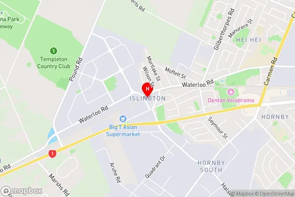
Blenheim CentralIslington Area Map (Street)
Local Authority
Marlborough DistrictFull Address
Islington, Marlborough District, New ZealandAddress Type
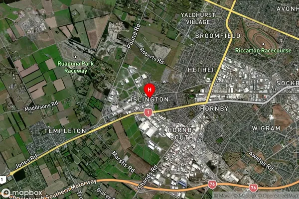
Suburb in Town BlenheimIslington Suburb Map (Satellite)
Country
Main Region in AU
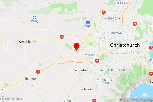
CanterburyIslington Region Map
Coordinates
-43.5425557,172.5060938 (latitude/longitude)Distances
The distance from Islington, Blenheim, Marlborough District to NZ Top 10 Cities