Islington Area, Islington Postcode(8042) & Map in Islington
Islington Area, Islington Postcode(8042) & Map in Islington, Christchurch City, New Zealand
Islington, Christchurch City, New Zealand
Islington Postcodes
Islington Area (estimated)
7.4 square kilometersIslington Population (estimated)
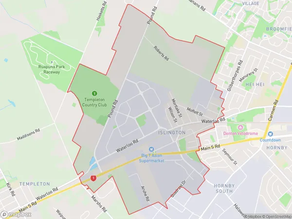
1725 people live in Islington, Halswell-Hornby-Riccarton Community, NZIslington Suburb Area Map (Polygon)
Islington Introduction
Islington is a suburb of Christchurch, New Zealand, located in the city's east. It is known for its historic homes, leafy streets, and vibrant community. The suburb has a variety of shops, restaurants, and recreational facilities, including the Islington Park Racecourse and the Islington Village Green. Islington is also home to several educational institutions, including the University of Canterbury and Lincoln University.Region
Major City
Suburb Name
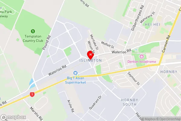
IslingtonIslington Area Map (Street)
Local Authority
Christchurch CityFull Address
Islington, Christchurch City, New ZealandAddress Type
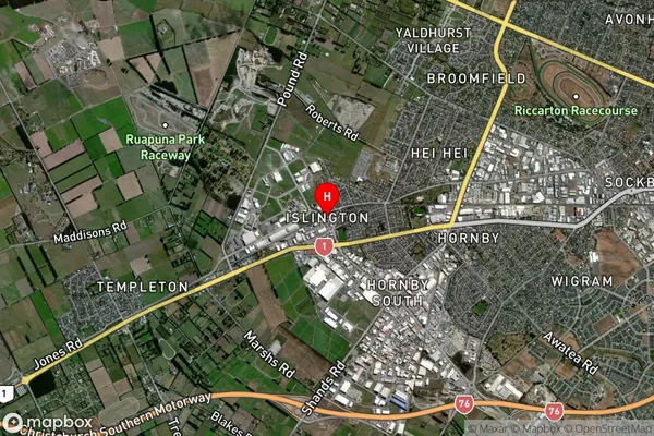
Suburb in City ChristchurchIslington Suburb Map (Satellite)
Country
Main Region in AU
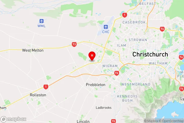
CanterburyIslington Region Map
Coordinates
-43.5425557,172.5060938 (latitude/longitude)Distances
The distance from Islington, Christchurch, Christchurch City to NZ Top 10 Cities