Island Stream Area, Island Stream Postcode & Map in Island Stream
Island Stream Area, Island Stream Postcode & Map in Island Stream, Waitaki District, New Zealand
Island Stream, Waitaki District, New Zealand
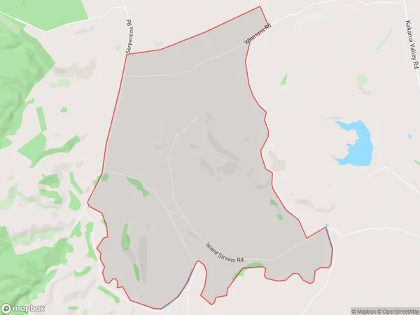
Island Stream Area (estimated)
10.7 square kilometersIsland Stream Population (estimated)
28 people live in Island Stream, Otago, NZIsland Stream Suburb Area Map (Polygon)

Island Stream Introduction
Oamaru is a historic stone town in Otago, New Zealand, known for its Victorian architecture and its location on the Otago Harbour. It is home to the Oamaru Blue Penguin Colony, the only mainland colony of blue penguins in the world. The town also has a rich history of mining, with the nearby Oamaru Gold Rush leading to the establishment of the town in the 1860s.Region
Major City
Suburb Name
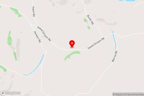
Island StreamIsland Stream Area Map (Street)

Local Authority
Waitaki DistrictFull Address
Island Stream, Waitaki District, New ZealandAddress Type
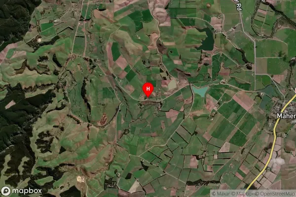
Locality in Town OamaruIsland Stream Suburb Map (Satellite)

Country
Main Region in AU
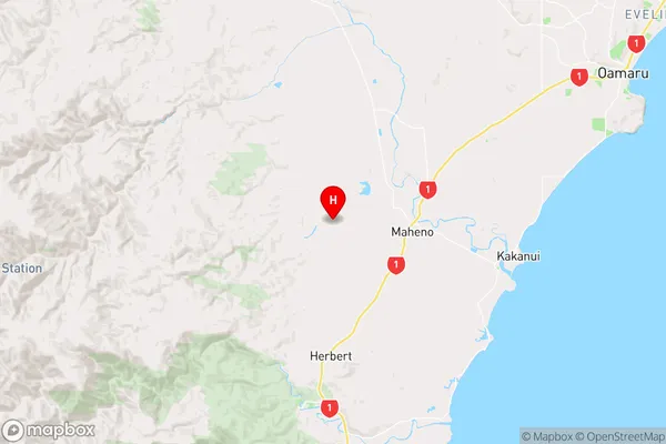
OtagoIsland Stream Region Map

Coordinates
-45.1647913,170.7889938 (latitude/longitude)Distances
The distance from Island Stream, Oamaru, Waitaki District to NZ Top 10 Cities