Ashley Downs Area, Ashley Downs Postcode(9584) & Map in Ashley Downs
Ashley Downs Area, Ashley Downs Postcode(9584) & Map in Ashley Downs, Clutha District, New Zealand
Ashley Downs, Clutha District, New Zealand
Ashley Downs Postcodes
Ashley Downs Area (estimated)
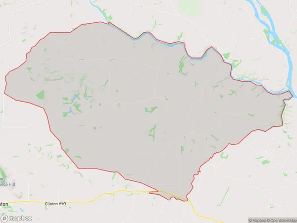
90.6 square kilometersAshley Downs Population (estimated)
136 people live in Ashley Downs, Otago, NZAshley Downs Suburb Area Map (Polygon)
Ashley Downs Introduction
Ashley Downs is a small rural community located in the Clinton district of Otago, New Zealand. It is situated approximately 20 kilometers south of the town of Clinton and 120 kilometers south of Dunedin. The area is known for its scenic rural landscapes, including rolling hills, farmland, and picturesque rivers. The community has a population of around 100 people and is home to a variety of businesses, including a convenience store, a post office, and a tavern. Ashley Downs is also a popular destination for outdoor enthusiasts, with numerous hiking and biking trails nearby.Region
Major City
Suburb Name
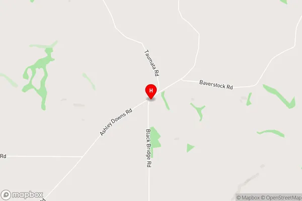
Ashley DownsOther Name(s)
TaumataAshley Downs Area Map (Street)
Local Authority
Clutha DistrictFull Address
Ashley Downs, Clutha District, New ZealandAddress Type
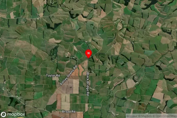
Locality in Town ClintonAshley Downs Suburb Map (Satellite)
Country
Main Region in AU
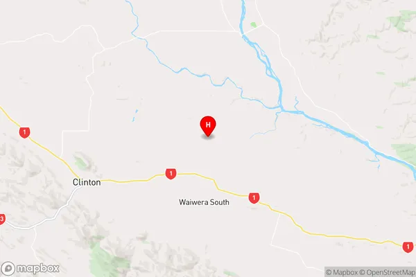
OtagoAshley Downs Region Map
Coordinates
-46.1721039,169.4954181 (latitude/longitude)Distances
The distance from Ashley Downs, Clinton, Clutha District to NZ Top 10 Cities