Island Cliff Area, Island Cliff Postcode(9494) & Map in Island Cliff
Island Cliff Area, Island Cliff Postcode(9494) & Map in Island Cliff, Waitaki District, New Zealand
Island Cliff, Waitaki District, New Zealand
Island Cliff Postcodes
Island Cliff Area (estimated)
82.4 square kilometersIsland Cliff Population (estimated)
170 people live in Island Cliff, Otago, NZIsland Cliff Suburb Area Map (Polygon)

Island Cliff Introduction
Oamaru is a historic Victorian town located in the North Otago region of New Zealand. It is well-known for its stunning limestone buildings, including the Oamaru Blue Penguin Colony, the Otago Museum, and the Victorian Precinct. The town also has a rich cultural heritage, with a strong Maori influence evident in its art, music, and language. Oamaru is a popular tourist destination and is home to many events and festivals throughout the year, including the Oamaru Classic Car Festival and the Oamaru Victorian Heritage Festival.Region
Major City
Suburb Name
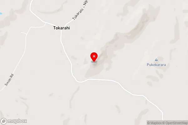
Island CliffIsland Cliff Area Map (Street)
Local Authority
Waitaki DistrictFull Address
Island Cliff, Waitaki District, New ZealandAddress Type
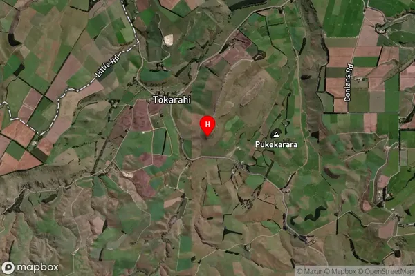
Locality in Town OamaruIsland Cliff Suburb Map (Satellite)
Country
Main Region in AU
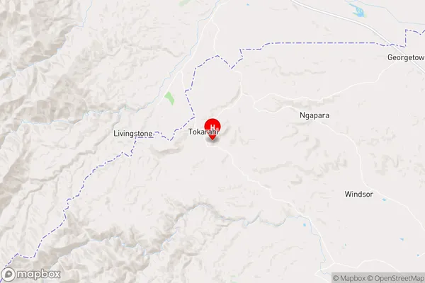
OtagoIsland Cliff Region Map
Coordinates
-44.968222,170.653944 (latitude/longitude)Distances
The distance from Island Cliff, Oamaru, Waitaki District to NZ Top 10 Cities