Nee Islets Area, Nee Islets Postcode & Map in Nee Islets
Nee Islets Area, Nee Islets Postcode & Map in Nee Islets, Southland District, New Zealand
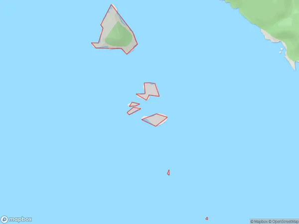
Nee Islets, Southland District, New Zealand
Nee Islets Area (estimated)
0.0 square kilometersNee Islets Population (estimated)
0 people live in Nee Islets, Southland, NZNee Islets Suburb Area Map (Polygon)
Nee Islets Introduction
Nee Islets is a small group of islands located in Fiordland National Park, Southland, New Zealand. It is known for its stunning natural beauty, including crystal-clear waters, rugged cliffs, and lush forests. The islands are a popular destination for hiking, kayaking, and wildlife viewing, with a variety of species of birds and marine animals calling the area home. Nee Islets is also home to a small community of people who live in traditional Maori dwellings and practice sustainable living practices.Region
Suburb Name
Nee IsletsOther Name(s)
Doubtful Sound / PateaNee Islets Area Map (Street)

Local Authority
Southland DistrictFull Address
Nee Islets, Southland District, New ZealandAddress Type
IslandNee Islets Suburb Map (Satellite)

Country
Main Region in AU
SouthlandNee Islets Region Map

Coordinates
-45.2515004,166.874002264122 (latitude/longitude)Distances
The distance from Nee Islets, , Southland District to NZ Top 10 Cities