Moturoa Islands Area, Moturoa Islands Postcode & Map in Moturoa Islands
Moturoa Islands Area, Moturoa Islands Postcode & Map in Moturoa Islands, Far North District,
Moturoa Islands, Far North District,
Moturoa Islands Area (estimated)
-1.2 square kilometersMoturoa Islands Population (estimated)
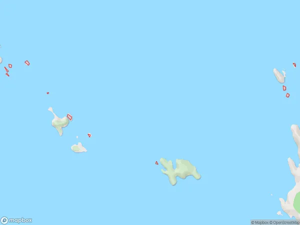
0 people live in Moturoa Islands, Brighton, NZMoturoa Islands Suburb Area Map (Polygon)
Region
Major City
Suburb Name
Moturoa IslandsMoturoa Islands Area Map (Street)
Local Authority
Far North DistrictFull Address
Moturoa Islands, Far North District,Address Type
IslandMoturoa Islands Suburb Map (Satellite)
Country
Main Region in AU
OtagoMoturoa Islands Region Map
Coordinates
0,0 (latitude/longitude)Distances
The distance from Moturoa Islands, , Far North District to NZ Top 10 Cities